
McArthur, census-designated place in Shasta County, California
Location: Shasta County
Elevation above the sea: 1,009 m
GPS coordinates: 41.05028,-121.39972
Latest update: March 23, 2025 03:58
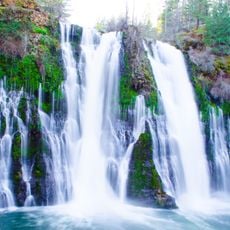
Burney Falls
21.6 km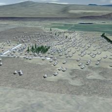
Allen Telescope Array
26.6 km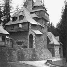
Wyntoon
58 km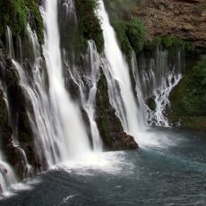
McArthur-Burney Falls Memorial State Park
21.4 km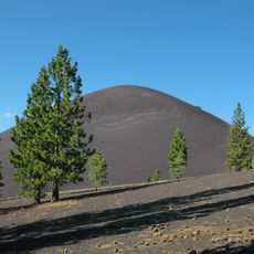
Cinder Cone and the Fantastic Lava Beds
56.3 km
Modoc National Forest
46.9 km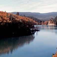
Lake Britton
23.4 km
Ahjumawi Lava Springs State Park
9.7 km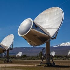
Hat Creek Radio Observatory
26.6 km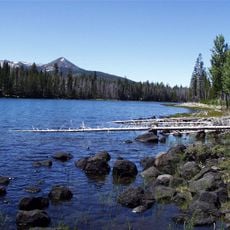
Thousand Lakes Wilderness
42 km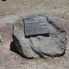
Nobles Emigrant Trail
56 km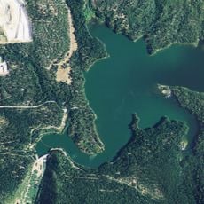
Pit 3 Dam
23.4 km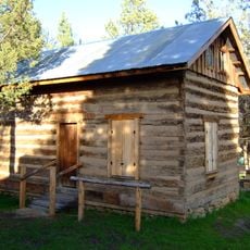
Fort Crook
10.5 km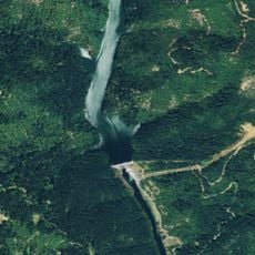
Pit 6 Dam
51.9 km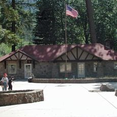
Manzanita Lake Naturalist's Services Historic District
58.9 km
Hot Rock
57.8 km
Discovery Center
58.7 km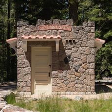
Seismograph Building
58.8 km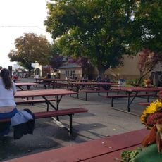
Intermountain Fair
393 m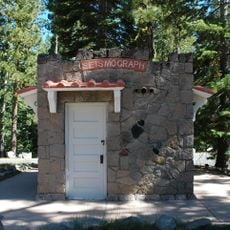
Seismograph
58.8 km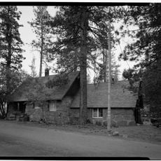
Manzanita Ranger Residence
58.9 km
Chaos Jumbles
58.1 km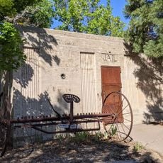
Fort Crook Museum
6.6 km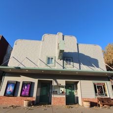
Mt. Burney Theatre
29.5 km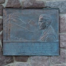
Mather Plaque in Lassen Volcanic National Park
58.9 km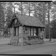
Manzanita Kiosk
58.8 km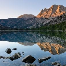
Silver Lake
51.4 km
Lost Creek Group Campground
55.3 kmReviews
Visited this place? Tap the stars to rate it and share your experience / photos with the community! Try now! You can cancel it anytime.
Discover hidden gems everywhere you go!
From secret cafés to breathtaking viewpoints, skip the crowded tourist spots and find places that match your style. Our app makes it easy with voice search, smart filtering, route optimization, and insider tips from travelers worldwide. Download now for the complete mobile experience.

A unique approach to discovering new places❞
— Le Figaro
All the places worth exploring❞
— France Info
A tailor-made excursion in just a few clicks❞
— 20 Minutes