
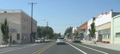
Moro, city in Oregon, USA
Location: Sherman County
Inception: 1899
Elevation above the sea: 548.34 m
Website: http://cityofmoro.net
GPS coordinates: 45.48500,-120.73222
Latest update: March 18, 2025 10:16

Maryhill Stonehenge
24 km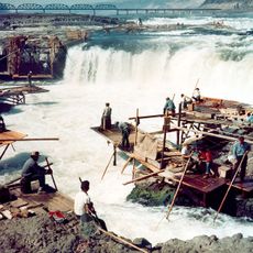
Celilo Falls
26.5 km
John Day Dam
25.9 km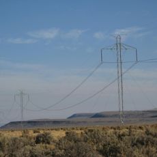
Pacific DC Intertie
32.2 km
The Dalles Dam
34.4 km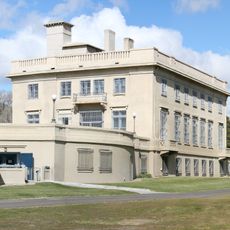
Maryhill Museum of Art
23.8 km
Cottonwood Canyon State Park
20.3 km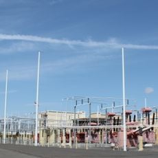
Celilo Converter Station
32.1 km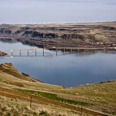
Sam Hill Memorial Bridge
22.7 km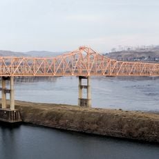
The Dalles Bridge
34.6 km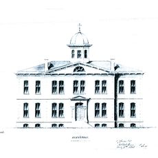
The Dalles Mint
36.9 km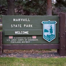
Maryhill State Park
23.2 km
Deschutes River State Recreation Area
21.6 km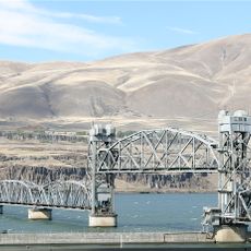
Oregon Trunk Rail Bridge
26.7 km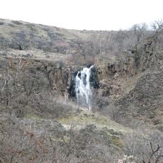
Columbia Hills Historical State Park
35.5 km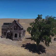
Charles E. Nelson House
23.6 km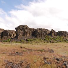
Columbia Hills
28.7 km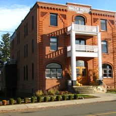
Balch Hotel
31.4 km
Granada Theater
37.4 km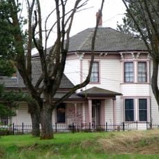
John and Helen Moore House
4.7 km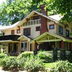
Dr. J. A. Reuter House
37.3 km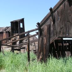
Indian Shaker Church and Gulick Homestead
34 km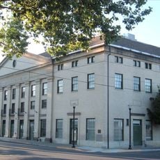
The Dalles Civic Auditorium
37.3 km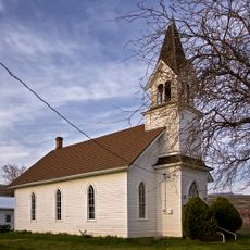
First Day Advent Christian Church
23.4 km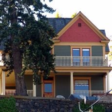
Joseph D. and Margaret Kelly House
36.9 km
John and Murta Van Dellen House
37.4 km
Sharp Family Residential Ensemble
37.2 km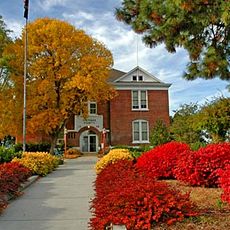
Sherman County Courthouse
8.8 kmReviews
Visited this place? Tap the stars to rate it and share your experience / photos with the community! Try now! You can cancel it anytime.
Discover hidden gems everywhere you go!
From secret cafés to breathtaking viewpoints, skip the crowded tourist spots and find places that match your style. Our app makes it easy with voice search, smart filtering, route optimization, and insider tips from travelers worldwide. Download now for the complete mobile experience.

A unique approach to discovering new places❞
— Le Figaro
All the places worth exploring❞
— France Info
A tailor-made excursion in just a few clicks❞
— 20 Minutes