
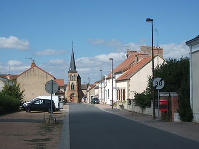
Verneix, commune in Allier, France
Location: Allier
Location: arrondissement of Montluçon
Elevation above the sea: 308.5 m
Industry: administration publique générale
Shares border with: Bizeneuille, Estivareilles, Givarlais, Louroux-Hodement, Saint-Angel, Saint-Victor
Phone: +33470078247
Email: mairie-verneix@wanadoo.fr
Website: http://verneix.fr
GPS coordinates: 46.39694,2.67000
Latest update: March 23, 2025 23:04
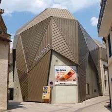
MuPop à Montluçon
7.9 km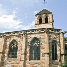
Église Notre-Dame de Montluçon
8 km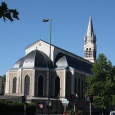
Église Saint-Paul
7.9 km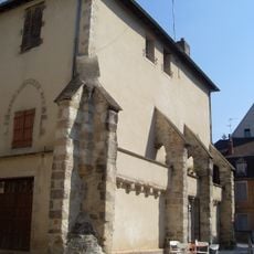
Ancienne chapelle Saint-Louis
8 km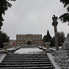
Parc de la Louvière
7.4 km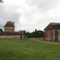
Prieuré Notre-Dame
8.2 km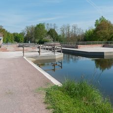
Pont-canal de Chantemerle
6.6 km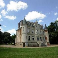
Château du Cluzeau
5 km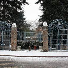
Jardins Wilson
7.9 km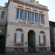
Maison communale
7.8 km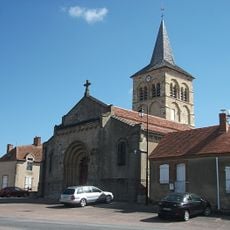
Église Saint-Martin de Bizeneuille
5.1 km
Lanterne des Morts d'Estivareilles
5.1 km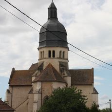
Église Saint-Victor de Saint-Victor
4.9 km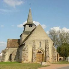
Église Saint-Martial de Deneuille-les-Mines
8.8 km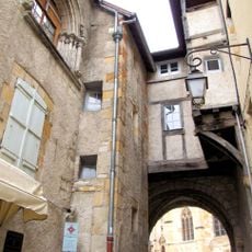
Passage du doyenné
8 km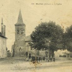
Église Saint-Denis de Maillet
9.2 km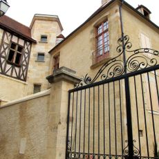
Maison des Condés
7.9 km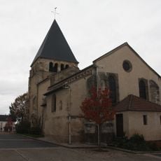
Église Saint-Georges de Désertines
5.9 km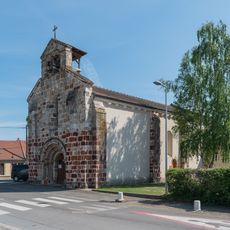
Église Saint-Eloi de Vaux
6.4 km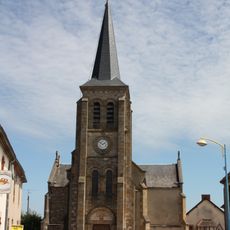
Église Saint-Michel-et-Saint-Blaise de Saint-Angel
5 km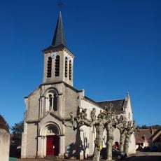
Église Saint-Sébastien d'Estivareilles
5.2 km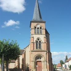
Église Saint-Laurent de Verneix
53 m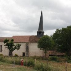
Église Saint-Martin de Reugny
8.8 km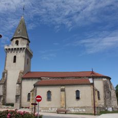
Église Saint-Maurice de Chamblet
7.4 km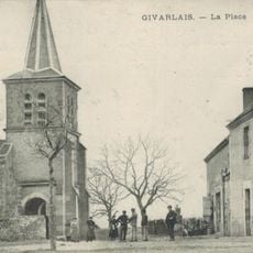
Église Saint-Genès de Givarlais
7 km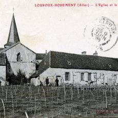
Église Saint-Jean-Baptiste de Louroux-Hodement
8 km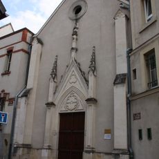
Chapelle du sacré cœur
7.9 km
Menhir du Pirolet
6.8 kmReviews
Visited this place? Tap the stars to rate it and share your experience / photos with the community! Try now! You can cancel it anytime.
Discover hidden gems everywhere you go!
From secret cafés to breathtaking viewpoints, skip the crowded tourist spots and find places that match your style. Our app makes it easy with voice search, smart filtering, route optimization, and insider tips from travelers worldwide. Download now for the complete mobile experience.

A unique approach to discovering new places❞
— Le Figaro
All the places worth exploring❞
— France Info
A tailor-made excursion in just a few clicks❞
— 20 Minutes