
Sainte-Gemmes, former commune in Loir-et-Cher, France
Location: canton of Selommes
Location: Loir-et-Cher
Location: Arrondissement of Vendôme
Shares border with: Baigneaux, Boisseau, La Chapelle-Enchérie, Épiais, Faye, Oucques, Selommes
GPS coordinates: 47.79333,1.27083
Latest update: April 17, 2025 13:45
Château de Fréteval
11.2 km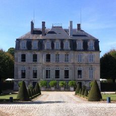
Château de Meslay
13.3 km
L'Aumône Abbey
12 km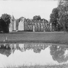
Château de Renay
9.5 km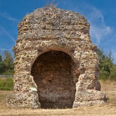
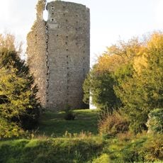
Tour de Grisset
13.2 km
Théâtre gallo-romain d'Areines
13.8 km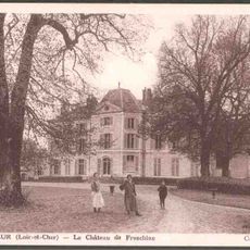
Château de Freschines
11.2 km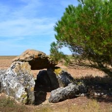
Dolmen de Cornevache
8.1 km
Église Notre-Dame d'Areines
13.3 km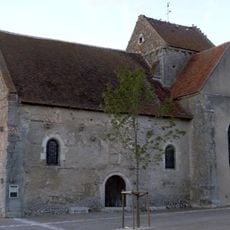
Église Saint-Lubin d'Averdon
12.2 km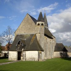
Église Saint-Cloud de Rhodon
4.5 km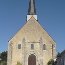
Église Saint-Pierre
8.5 km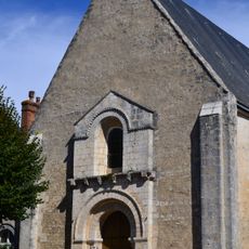
Église de la Sainte-Vierge de Selommes
7.1 km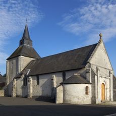
Église Saint-Saturnin de Conan
5.1 km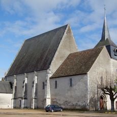
Église Saint-Pierre de Pezou
12.6 km
Église Saint-Dié de Maves
9 km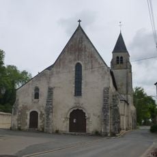
Église Notre-Dame de Marchenoir
10 km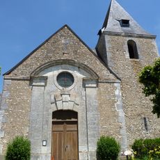
Église Saint-Calais de Meslay
13.1 km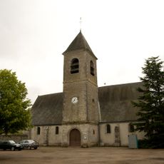
Église Saint-Félix de Champigny-en-Beauce
9.3 km
Le Minotaure
14.9 km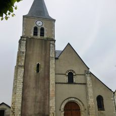
Église Saint-Jean-Baptiste de Coulommiers-la-Tour
9.7 km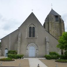
Église Saint-Léonard de Saint-Léonard-en-Beauce
9.3 km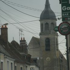
Église Saint-Nicolas de Fréteval
11.5 km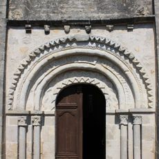
Église Notre-Dame d'Écoman
11.1 km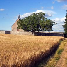
Église Sainte-Madeleine de La Madeleine-Villefrouin
9.6 km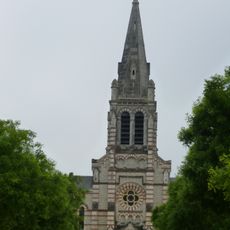
Église Saint-Jacques d'Oucques
3.7 km
Gisement préhistorique
12.2 km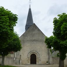
Église Saint-Martin de Villetrun
8.2 kmReviews
Visited this place? Tap the stars to rate it and share your experience / photos with the community! Try now! You can cancel it anytime.
Discover hidden gems everywhere you go!
From secret cafés to breathtaking viewpoints, skip the crowded tourist spots and find places that match your style. Our app makes it easy with voice search, smart filtering, route optimization, and insider tips from travelers worldwide. Download now for the complete mobile experience.

A unique approach to discovering new places❞
— Le Figaro
All the places worth exploring❞
— France Info
A tailor-made excursion in just a few clicks❞
— 20 Minutes