
Canton of Tremblay-en-France, French canton in Seine-Saint-Denis, Île-de-France
Location: Seine-Saint-Denis
Inception: March 22, 2015
Capital city: Tremblay-en-France
GPS coordinates: 48.95611,2.57639
Latest update: March 11, 2025 15:28
Église Notre-Dame du Raincy
8.1 km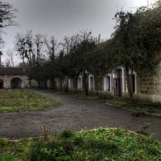
Fort de Vaujours
3.8 km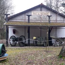
Poudrerie nationale de Sevran-Livry
2.4 km
Pathé Aéroville
5.4 km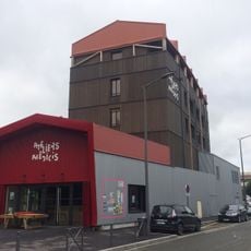
Ateliers Médicis
6.1 km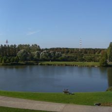
Parc départemental du Sausset
5 km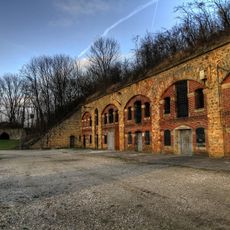
Fort de Chelles
8 km
Château de Sevran
4 km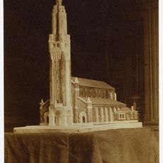
Église Saint-Louis de Villemomble
9.1 km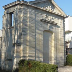
Château des Caramans
6.8 km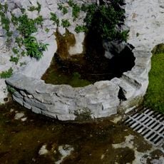
Fontaine Jean-Valjean
6.6 km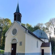
Chapelle Notre-Dame-des-Anges de Clichy-sous-Bois
6.1 km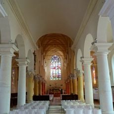
Church of Saint-Médard, Tremblay-en-France
2.9 km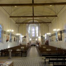
St. Eloi Church
6.7 km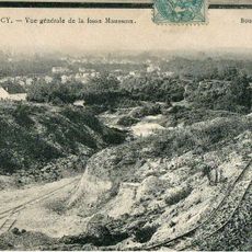
Parc départemental de la Fosse-Maussoin
6.5 km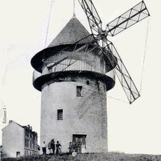
Sempin Windmill
6.7 km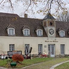
Petit Château de Montfermeil
6.4 km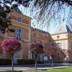
Town hall of Clichy-sous-Bois
5.5 km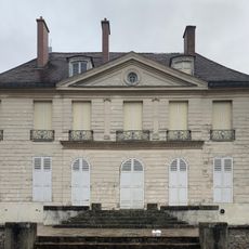
Château des Cèdres
6.4 km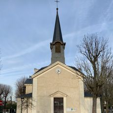
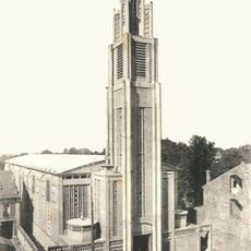
Église Saint-Louis du Raincy
7.2 km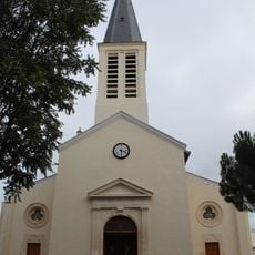
Église Saint-Germain de Gagny
8.5 km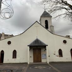
Église Saint-Martin de Sevran
4 km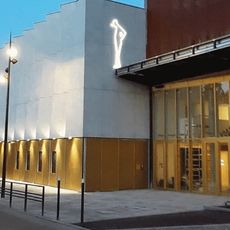
Cinéma Jacques Tati
1.7 km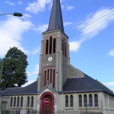
Église Saint-Joseph d'Aulnay-sous-Bois
6.4 km
Parc Arboretum de Montfermeil
6.6 km
Château de la Forêt
5.4 km
Saint Michael Church
6.4 km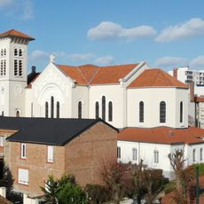
Église Notre-Dame-de-Lourdes des Pavillons-sous-Bois
7.5 kmReviews
Visited this place? Tap the stars to rate it and share your experience / photos with the community! Try now! You can cancel it anytime.
Discover hidden gems everywhere you go!
From secret cafés to breathtaking viewpoints, skip the crowded tourist spots and find places that match your style. Our app makes it easy with voice search, smart filtering, route optimization, and insider tips from travelers worldwide. Download now for the complete mobile experience.

A unique approach to discovering new places❞
— Le Figaro
All the places worth exploring❞
— France Info
A tailor-made excursion in just a few clicks❞
— 20 Minutes