
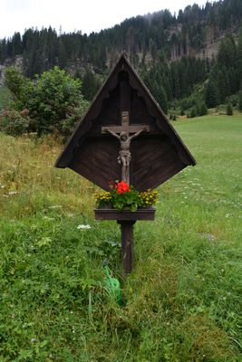
Wegkreuz Ladstatt, Wegkreuz in der Ortschaft Ladstatt in der Fraktion Oberrotte in der Gemeinde St. Jakob in Defereggen
Location: Sankt Jakob in Defereggen
GPS coordinates: 46.91317,12.29113
Latest update: March 21, 2025 01:31
Unterleiten
1.6 km
Steinerbach
2.2 km
Mariahilf
575 m
Unterstein
2.2 km
Haus des Wassers
989 m
Mariahilf-Kapelle Rinderschinken
438 m
Lappbach
319 m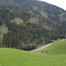
Wosebach
1.5 km
Oberrotte 13
1.2 km
Einhof Burge in der Stadt
642 m
Oberrotte 14
1.2 km
Austraghaus Gorlis
1.7 km
Wirtschaftsgebäude Häuselis II
1.7 km
Blindisbach
1.9 km
Einhof Patters
646 m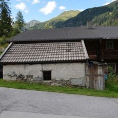
Wasch- und Backhütte Wieland
353 m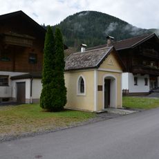
Stöffliskapelle
513 m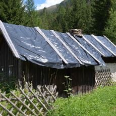
Waschhütte Patters
660 m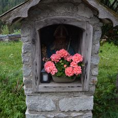
Nikolausbildstock Hinterladstatt
221 m
Waschhütte Stefflis
475 m
Stadnermühle
734 m
Einhof Häuselis
1.7 km
Wirtschaftsgebäude Häuselis
1.6 km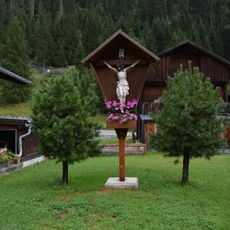
Wegkreuz Mariahilf
518 m
Wohnhaus Paarhof Gorlis
1.8 km
Bauernhaus Stefflis
494 m
Ehemaliges Badehaus Bad Grünmoos
1.9 km
Bauernhaus Wieland
340 mVisited this place? Tap the stars to rate it and share your experience / photos with the community! Try now! You can cancel it anytime.
Discover hidden gems everywhere you go!
From secret cafés to breathtaking viewpoints, skip the crowded tourist spots and find places that match your style. Our app makes it easy with voice search, smart filtering, route optimization, and insider tips from travelers worldwide. Download now for the complete mobile experience.

A unique approach to discovering new places❞
— Le Figaro
All the places worth exploring❞
— France Info
A tailor-made excursion in just a few clicks❞
— 20 Minutes