
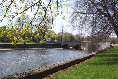
Gow's Bridge, road bridge in Guelph, Ontario, Canada
Location: Guelph
Inception: 1897
Part of: Brooklyn and College Hill Heritage Conservation District
Address: McCrae Boulevard
GPS coordinates: 43.53676,-80.24598
Latest update: September 23, 2025 16:56
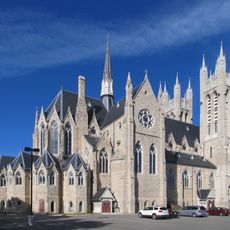
Basilica of Our Lady Immaculate, Guelph
832 m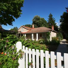
McCrae House
111 m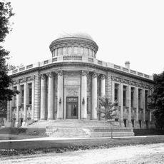
Guelph Public Library
1.1 km
River Run Centre
1.2 km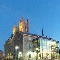
Guelph Civic Museum
872 m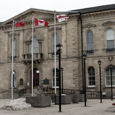
Old City Hall
808 m
Guelph City Hall
752 m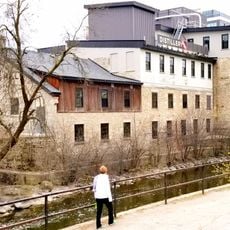
Allan's Mill
1.1 km
The Boathouse
413 m
Royal City Park
227 m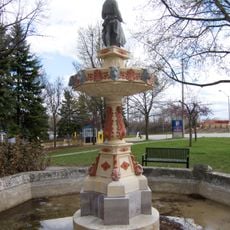
Blacksmith Fountain
1.1 km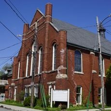
Paisley Memorial United Church
857 m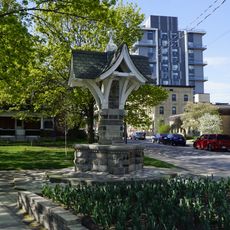
IODE (Imperial Order of the Daughters of the Empire) Fountain
1.1 km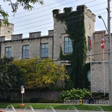
Wellington County Jail and Governor's Residence
1.1 km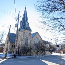
St. James the Apostle (Anglican) Church
1.1 km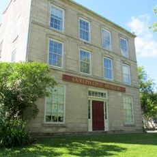
Knights of Columbus Building
608 m
Wellington Hotel
1.3 km
County Solicitor's Building
1.1 km
133 Wyndham Street North/Alma Block
1.2 km
26 Ontario Street
1 km
Petrie Building
941 m
Petrie-Kelly Building
938 m
22-26 Oxford Street
1.2 km
Alma Block
1.2 km
Bell House
1.2 km
Toronto-Dominion Bank
919 m
127-131 Wyndham Street North/Alma Block
1.2 km
Regent Hotel
914 mReviews
Visited this place? Tap the stars to rate it and share your experience / photos with the community! Try now! You can cancel it anytime.
Discover hidden gems everywhere you go!
From secret cafés to breathtaking viewpoints, skip the crowded tourist spots and find places that match your style. Our app makes it easy with voice search, smart filtering, route optimization, and insider tips from travelers worldwide. Download now for the complete mobile experience.

A unique approach to discovering new places❞
— Le Figaro
All the places worth exploring❞
— France Info
A tailor-made excursion in just a few clicks❞
— 20 Minutes