
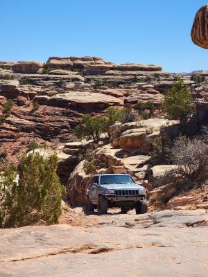
Elephant Hill Trailhead
Location: San Juan County
Address: Monticello, UT 84535, USA 84535 Monticello
Website: https://nps.gov/cany/planyourvisit/needlesroads.htm
GPS coordinates: 38.14155,-109.82734
Latest update: April 22, 2025 15:23
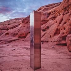
Utah monolith
26.5 km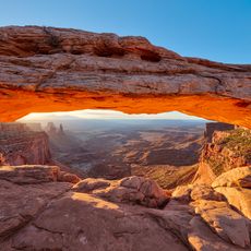
Mesa Arch
27.6 km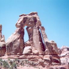
Druid Arch
5.9 km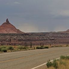
Sixshooter Peaks
13.9 km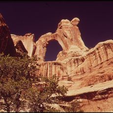
Angel Arch
11.8 km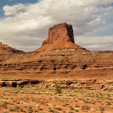
Airport Tower
28.1 km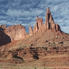
Monster Tower
27.6 km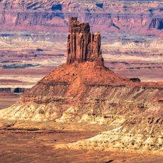
Candlestick Tower
28.1 km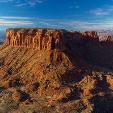
Junction Butte
16.6 km
Kirk's Cabin Complex
18.8 km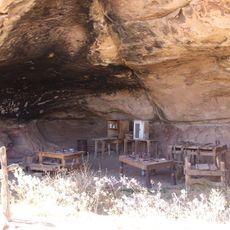
Cave Springs Cowboy Camp
6.8 km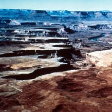
Stillwater Canyon
7.4 km
Elaterite Butte
20.2 km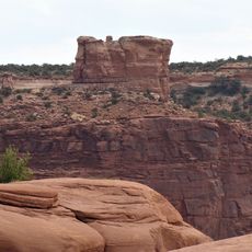
Muffin Butte
26.6 km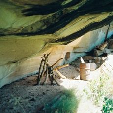
Lost Canyon Cowboy Camp
6 km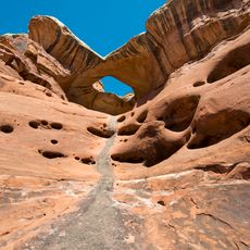
Paul Bunyans Potty
8.2 km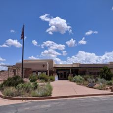
The Needles Visitor Center
6.6 km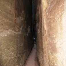
Joint Trail
3.9 km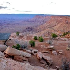
The Needles Overlook
20 km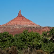
North Sixshooter Peak
13.9 km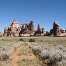
Chesler Park
4.3 km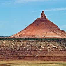
South Sixshooter Peak
15.6 km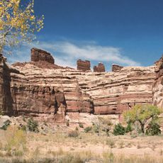
Chocolate Drops
17.4 km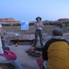
The Needles Campground
2.4 km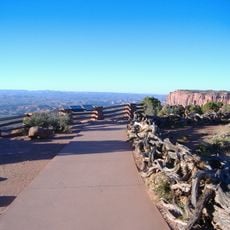
Grand View Point Overlook
20.2 km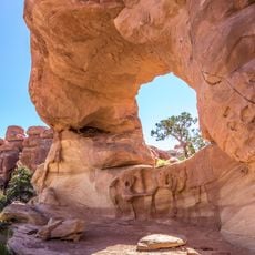
Beehive Arch
10.7 km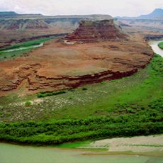
Turks Head
25.1 km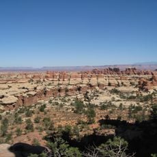
The Needles
6.6 kmReviews
Visited this place? Tap the stars to rate it and share your experience / photos with the community! Try now! You can cancel it anytime.
Discover hidden gems everywhere you go!
From secret cafés to breathtaking viewpoints, skip the crowded tourist spots and find places that match your style. Our app makes it easy with voice search, smart filtering, route optimization, and insider tips from travelers worldwide. Download now for the complete mobile experience.

A unique approach to discovering new places❞
— Le Figaro
All the places worth exploring❞
— France Info
A tailor-made excursion in just a few clicks❞
— 20 Minutes