
周覃镇
Location: Sandu Shui Autonomous County
GPS coordinates: 25.63215,107.90432
Latest update: March 13, 2025 05:03
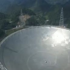
Five-hundred-meter Aperture Spherical Telescope
105.2 km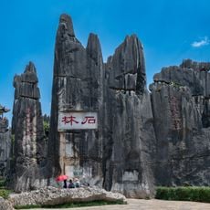
South China Karst
46.3 km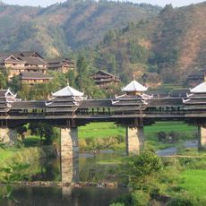
Chengyang Bridge
176.3 km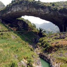
Xianren Bridge
153.1 km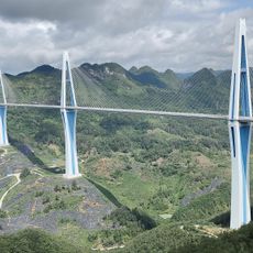
Pingtang Bridge
86.4 km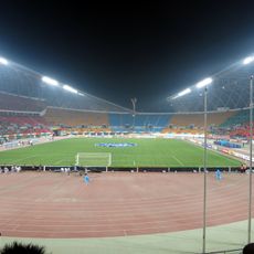
Guiyang Olympic Sports Center
170.2 km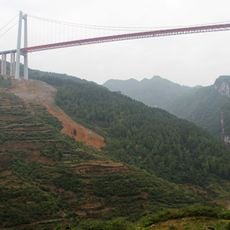
Qingshui River Bridge
171.2 km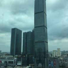
Diwang International Fortune Center
210.3 km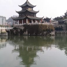
Jiaxiu Pavilion
158.5 km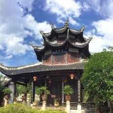
Wenchang Pavilion
159.1 km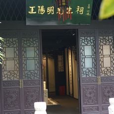
Wang Yangming Memorial Temple
159 km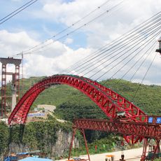
Najiehe Railway Bridge
210.8 km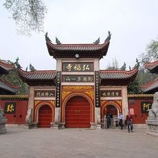
Hongfu Temple
161.6 km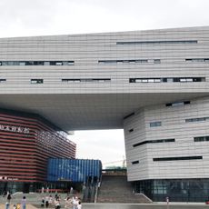
Geological Museum of Guizhou
170.7 km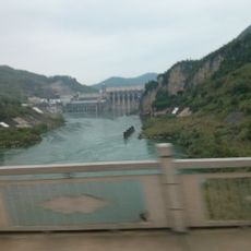
Yantan Dam
181.5 km
Qinglongdong
166.6 km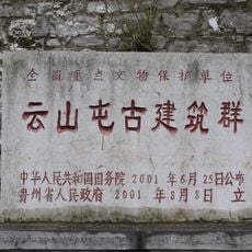
Yunshantun
196.4 km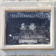
East Gate of Liuzhou
211.4 km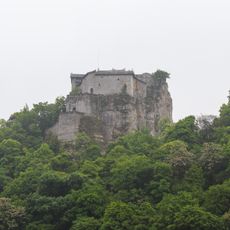
Tiantaishan Wulong Temple
192.4 km
Jiangjiehe Bridge
193 km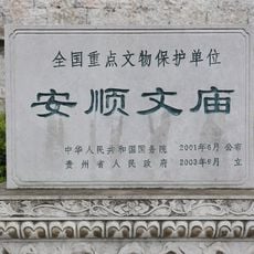
Anshun Confucian Temple
209.1 km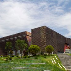
Guizhou Provincial Museum
169.8 km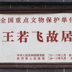
Former Residence of Wang Ruofei
209.7 km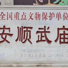
Temple of Guan Yu
210.5 km
Zhusheng Bridge
166.7 km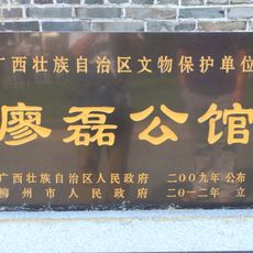
Liao Lei Gongguan
211.1 km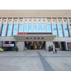
Liuzhou Museum
210.5 km
Former site of Nanyang Inn
211.7 kmReviews
Visited this place? Tap the stars to rate it and share your experience / photos with the community! Try now! You can cancel it anytime.
Discover hidden gems everywhere you go!
From secret cafés to breathtaking viewpoints, skip the crowded tourist spots and find places that match your style. Our app makes it easy with voice search, smart filtering, route optimization, and insider tips from travelers worldwide. Download now for the complete mobile experience.

A unique approach to discovering new places❞
— Le Figaro
All the places worth exploring❞
— France Info
A tailor-made excursion in just a few clicks❞
— 20 Minutes