
Tsosib Sumkyil, township in Ngari Prefecture, Tibet
Location: Zanda County
Location: Ngari Prefecture
Elevation above the sea: 3,650 m
GPS coordinates: 32.11340,78.71100
Latest update: June 14, 2025 11:00
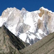
Meru Peak
142.1 km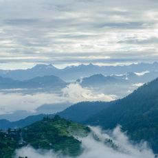
Great Himalayan National Park
79.6 km
Yamunotri
125.3 km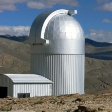
Indian Astronomical Observatory
77.9 km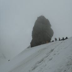
Shrikhand Mahadev
112.8 km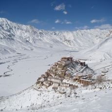
Key Monastery
69 km
Pin Valley National Park
121.9 km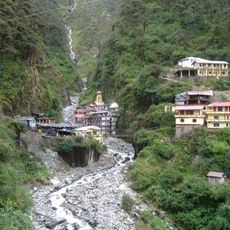
Yamunotri Temple
124.6 km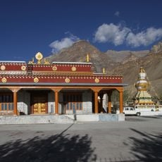
Tabo Monastery, Himachal Pradesh
31.1 km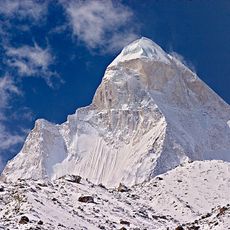
Shivling
141.3 km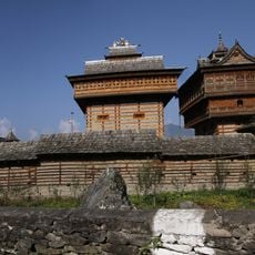
Bhimakali Temple
109.6 km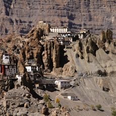
Dhankar Gompa
47.1 km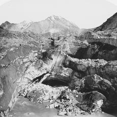
Bara Shigri Glacier
98 km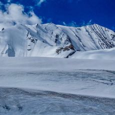
Shilla
58 km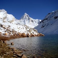
Thalay Sagar
142 km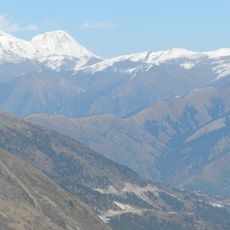
Deo Tibba
125.5 km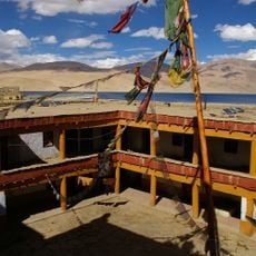
Korzok Monastery
104.1 km
Toling Monastery
124.5 km
Tangyud Monastery
68 km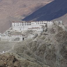
Hanle Monastery
80.1 km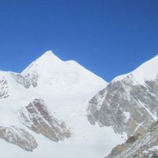
Sri Kailash
129.9 km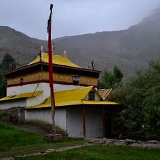
Lhalung Monastery
45 km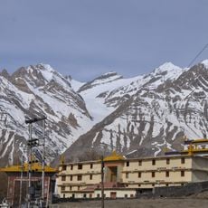
Kungri Monastery
60.5 km
Bhrigupanth
139.9 km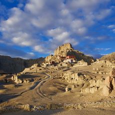
Dzong de Tsaparang
115.9 km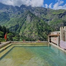
Kheerganga Hot Spring
114.1 km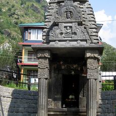
Miniature Stone Siva Temple, Jagatsukh
142.5 km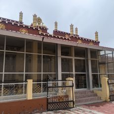
Tabo caves
31.1 kmReviews
Visited this place? Tap the stars to rate it and share your experience / photos with the community! Try now! You can cancel it anytime.
Discover hidden gems everywhere you go!
From secret cafés to breathtaking viewpoints, skip the crowded tourist spots and find places that match your style. Our app makes it easy with voice search, smart filtering, route optimization, and insider tips from travelers worldwide. Download now for the complete mobile experience.

A unique approach to discovering new places❞
— Le Figaro
All the places worth exploring❞
— France Info
A tailor-made excursion in just a few clicks❞
— 20 Minutes