
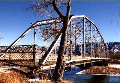
Rifle Bridge, bridge in Colorado, United States
Location: Rifle
Inception: 1909
GPS coordinates: 39.52778,-107.78167
Latest update: September 23, 2025 16:46
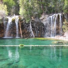
Hanging Lake
51.3 km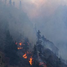
Glenwood Canyon
48.2 km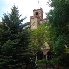
Hotel Colorado
39.3 km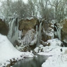
Rifle Falls State Park
17.7 km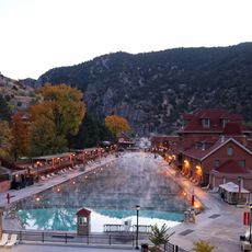
Glenwood Hot Springs Pool
39.4 km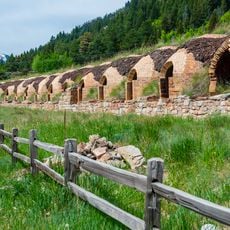
Redstone Coke Oven Historic District
60.4 km
Rifle Gap State Park
12.1 km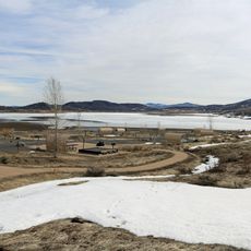
Vega State Park
33.8 km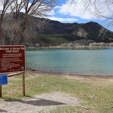
Harvey Gap State Park
14.5 km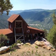
Glenwood Caverns Adventure Park
38.7 km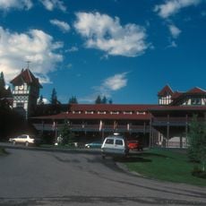
Redstone Inn
60.6 km
Cliffhanger
39.9 km
Redstone Historic District
60.6 km
Storm King Mountain
33.4 km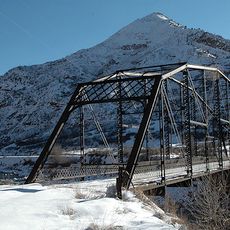
South Canon Bridge
32.4 km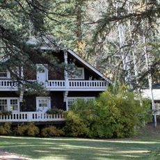
Osgood Gamekeeper's Lodge
61 km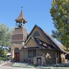
St. James Episcopal Church
57.9 km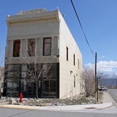
IOOF Hall
43 km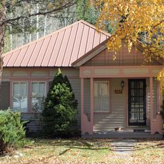
Osgood–Kuhnhausen House
60.5 km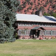
Sumers Lodge
40.1 km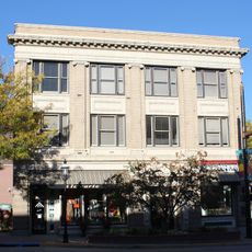
Citizens National Bank Building
39.3 km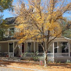
Starr Manor
39.7 km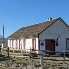
Missouri Heights School
56.4 km
Wasson-McKay Place
24.8 km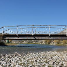
Hay's Ranch Bridge
60.2 km
Meeker Historic District
57.8 km
Meeker I.O.O.F. Lodge—Valentine Lodge No. 47
57.8 km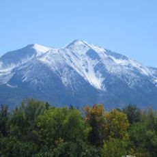
Mount Sopris
60.8 kmReviews
Visited this place? Tap the stars to rate it and share your experience / photos with the community! Try now! You can cancel it anytime.
Discover hidden gems everywhere you go!
From secret cafés to breathtaking viewpoints, skip the crowded tourist spots and find places that match your style. Our app makes it easy with voice search, smart filtering, route optimization, and insider tips from travelers worldwide. Download now for the complete mobile experience.

A unique approach to discovering new places❞
— Le Figaro
All the places worth exploring❞
— France Info
A tailor-made excursion in just a few clicks❞
— 20 Minutes