
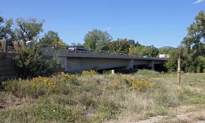
Big Thompson River Bridge IV
Big Thompson River Bridge IV, road bridge in Loveland, United States of America
Location: Loveland
Part of: Big Thompson River bridges
Address: US 34 at milepost 86.04
GPS coordinates: 40.38028,-105.47194
Latest update: September 23, 2025 16:56
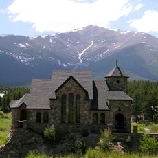
Chapel on the Rock
15.8 km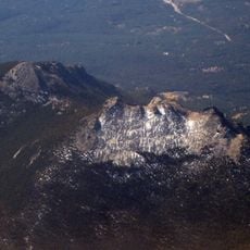
Twin Sisters Peaks
10.9 km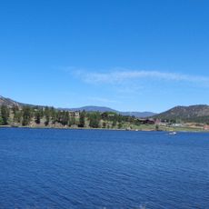
Lake Estes
1.4 km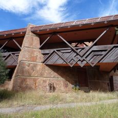
Beaver Meadows Visitor Center
7.7 km
East Longs Peak Trail – Longs Peak Trail – Keyhole Route – Shelf Trail
16.3 km
Fern Lake Trail
13.7 km
Moraine Park Museum and Amphitheater
9.8 km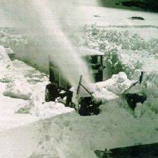
Snogo Snow Plow
7.6 km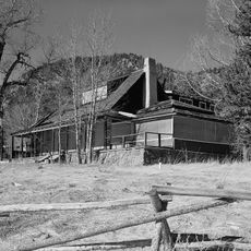
McGraw Ranch
6.2 km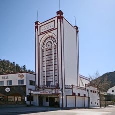
Park Theatre
4.3 km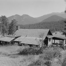
William Allen White Cabins
9.8 km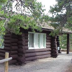
Glacier Basin Campground Ranger Station
11.9 km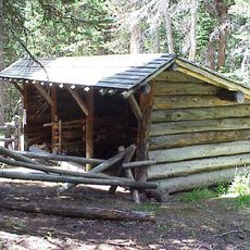
Fall River Entrance Historic District
10.7 km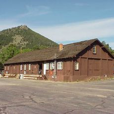
Rocky Mountain National Park Utility Area Historic District
7.7 km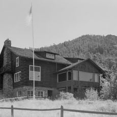
Moraine Park Discovery Center
9.8 km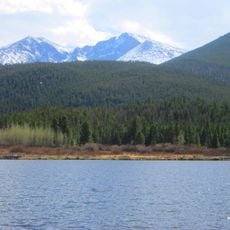
Lily Lake
10 km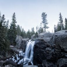
Alberta Falls
16.5 km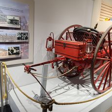
Estes Park Museum
2.8 km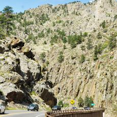
Big Thompson Canyon
892 m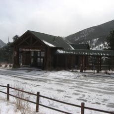
Fall River Visitor Center
10 km
Sheep Lakes Information Station
12.8 km
Many Parks Curve
13.5 km
Glacier Basin Campground
11.9 km
Sheep Lakes Turnout
12.8 km
Estes Park Aerial Tramway
4.4 km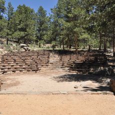
Moraine Park Amphitheater
9.9 km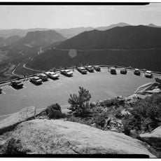
Rainbow Curve
16.4 km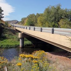
Big Thompson River Bridge III
0 mReviews
Visited this place? Tap the stars to rate it and share your experience / photos with the community! Try now! You can cancel it anytime.
Discover hidden gems everywhere you go!
From secret cafés to breathtaking viewpoints, skip the crowded tourist spots and find places that match your style. Our app makes it easy with voice search, smart filtering, route optimization, and insider tips from travelers worldwide. Download now for the complete mobile experience.

A unique approach to discovering new places❞
— Le Figaro
All the places worth exploring❞
— France Info
A tailor-made excursion in just a few clicks❞
— 20 Minutes