Waterfront Park, park in Douglas County, Washington, United States of America
Location: Douglas County
GPS coordinates: 48.01444,-119.67694
Latest update: November 21, 2025 09:25
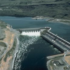
Chief Joseph Dam
3.9 km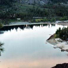
Alta Lake State Park
19.5 km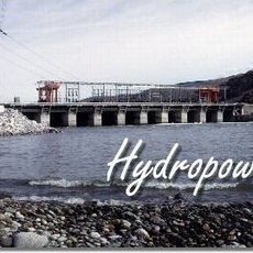
Wells Dam
16 km
Fort Okanogan
10.1 km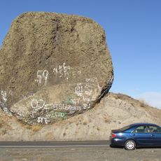
Boulder Park
17.8 km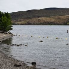
Bridgeport State Park
5.1 km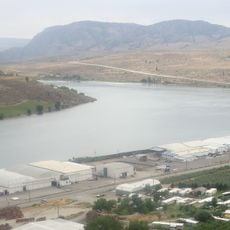
Lake Pateros
15.9 km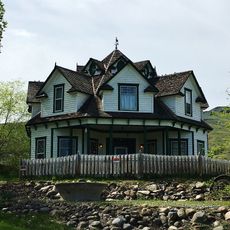
Gallaher House
754 m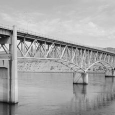
Columbia River Bridge
2.3 km
Rufus Woods Lake
4.8 km
West Foster Creek Wildlife Area
12.4 km
Devils Head
2.3 km
Bridgeport Bar Wildlife Area
7.4 km
Bridgeport Point
6.6 km
Long Rapids
18.7 km
Crazy Rapids
18.4 km
Indian Dan Canyon Wildlife Area
17.5 km
Indian Dan Canyon Reservoir
17.5 km
Eagle Rapids
15.7 km
Central Ferry Canyon Wildlife Area
10.6 km
Bridgeport Wildlife Area
3.7 km
Methow Rapids Natural Area Preserve
16.1 km
Washburn Island Wildlife Area
8.2 km
Okanogan Wildlife Area
12.4 km
Lakewoods Golf Course (Closed Permanently)
4.7 km
Gamble Sands Golf Course
6.1 km
Alta Lake Golf Resort
19.3 km
Wells Dam Overlook
16.5 kmReviews
Visited this place? Tap the stars to rate it and share your experience / photos with the community! Try now! You can cancel it anytime.
Discover hidden gems everywhere you go!
From secret cafés to breathtaking viewpoints, skip the crowded tourist spots and find places that match your style. Our app makes it easy with voice search, smart filtering, route optimization, and insider tips from travelers worldwide. Download now for the complete mobile experience.

A unique approach to discovering new places❞
— Le Figaro
All the places worth exploring❞
— France Info
A tailor-made excursion in just a few clicks❞
— 20 Minutes