
Coalgate, city in Oklahoma, United States
Location: Coal County
Elevation above the sea: 186 m
GPS coordinates: 34.53361,-96.21861
Latest update: March 6, 2025 15:28
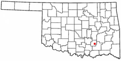
Oklahoma State Penitentiary
61.5 km
Choctaw Casino Resort
67.2 km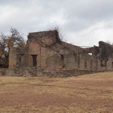
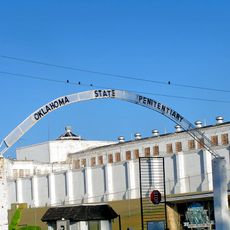
Fort Washita
56.7 km
International Temple, Supreme Assembly, Order of the Rainbow for Girls
60.8 km
AT6 Monument
57 km
Ada Gaming Center
48.8 km
Wintersmith Park Historic District
47.1 km
Tishomingo National Wildlife Refuge
56.3 km
Chickasaw Nation Capitols
53.6 km
St. Joseph's Catholic Church
63.8 km
McAlester House
62.9 km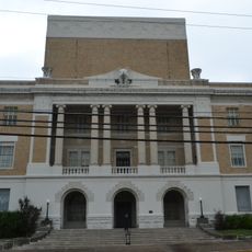
McAlester Scottish Rite Temple
61 km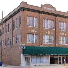
Masonic Temple
18.6 km
Pontotoc County Courthouse
49.9 km
Oklahoma Presbyterian College
61.5 km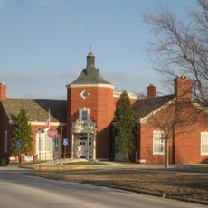
Ada Arts and Heritage Center
49.6 km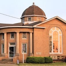
First Methodist Church Building
18.5 km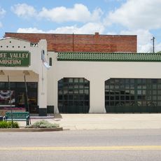
Three Valley Museum
62.2 km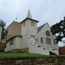
First Presbyterian Church
60.1 km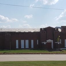
Holdenville Armory
63.4 km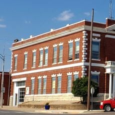
Holdenville City Hall
63.5 km
Robert E. Lee School
62.5 km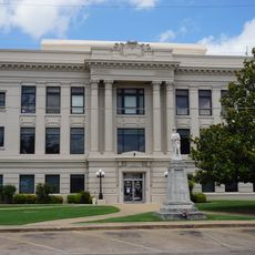
Bryan County Courthouse
62 km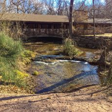
Travertine Nature Center
67.1 km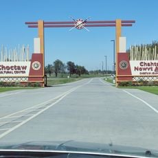
Choctaw Cultural Center
66 km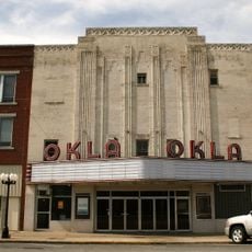
Okla Theatre
60.5 km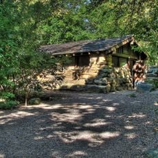
Cold Springs Campground Comfort Station #30
67.8 km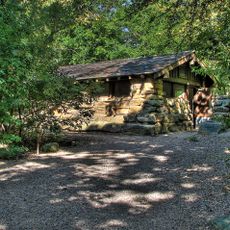
Cold Springs Campground
67.8 kmReviews
Visited this place? Tap the stars to rate it and share your experience / photos with the community! Try now! You can cancel it anytime.
Discover hidden gems everywhere you go!
From secret cafés to breathtaking viewpoints, skip the crowded tourist spots and find places that match your style. Our app makes it easy with voice search, smart filtering, route optimization, and insider tips from travelers worldwide. Download now for the complete mobile experience.

A unique approach to discovering new places❞
— Le Figaro
All the places worth exploring❞
— France Info
A tailor-made excursion in just a few clicks❞
— 20 Minutes