
Santo Antônio do Tauá, municipality of Brazil
Location: Pará
Elevation above the sea: 15 m
Shares border with: Belém, Cachoeira do Arari, Castanhal, Colares, Santa Bárbara do Pará, Santa Isabel do Pará, Vigia
GPS coordinates: -1.15194,-48.12889
Latest update: March 11, 2025 10:24
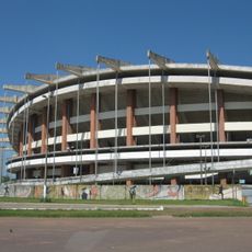
Estádio Estadual Jornalista Edgar Augusto Proença
43.4 km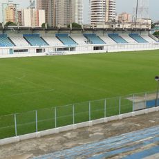
Estádio da Curuzú
49.4 km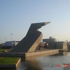
Memorial da Cabanagem
44.3 km
Museu Paraense Emílio Goeldi
51.2 km
Bosque Rodrigues Alves
47.9 km
Utinga State Park
46.5 km
Governor's Residence Park
50.9 km
Mercado de São Brás
50.4 km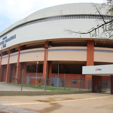
Arena Guilherme Paraense
43.1 km
Murutucu Plantation
46.7 km
Chalé Senador José Porfírio
43.2 km
Centro de Ciências e Planetário do Pará
43.3 km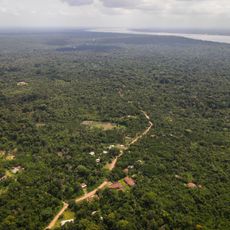
Quilombo Abacatal-aurá
38.3 km
Caixa d'Água de Ferro
50.4 km
Igreja da Madre de Deus
33 km
Environmental Protection Area of the Metropolitan Region of Belém
39.9 km
Monumento do Marco da Légua
47.5 km
Universidade Federal do Pará museum
51 km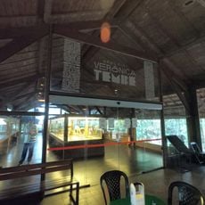
Memorial Verônica Tembé
44.4 km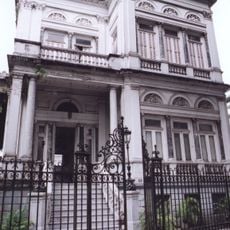
Augusto Montenegro Mansion
51.5 km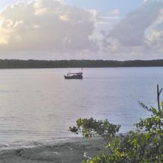
Mãe Grande de Curuçá Extractive Reserve
36.5 km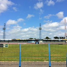
Estádio Maximino Porpino Filho
27 km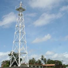
Joanes Lighthouse
51 km
Parque Zoobotânico do Museu Paraense Emílio Goeldi
51.2 km
Cinépolis Parque Shopping Belém
42.9 km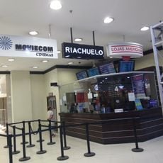
Moviecom Shopping Castanheira
43.7 km
UCI Bosque Grão Pará
45.9 km
Archaeology and Ethnography collections of Museu Paraense Emílio Goeldi
51.2 kmVisited this place? Tap the stars to rate it and share your experience / photos with the community! Try now! You can cancel it anytime.
Discover hidden gems everywhere you go!
From secret cafés to breathtaking viewpoints, skip the crowded tourist spots and find places that match your style. Our app makes it easy with voice search, smart filtering, route optimization, and insider tips from travelers worldwide. Download now for the complete mobile experience.

A unique approach to discovering new places❞
— Le Figaro
All the places worth exploring❞
— France Info
A tailor-made excursion in just a few clicks❞
— 20 Minutes