
Pano Akourdaleia, community in Paphos District, Republic of Cyprus
Location: Paphos District
Elevation above the sea: 430 m
Shares border with: Kritou Terra, Kato Akourdhalia, Miliou, Theletra, Pano Arodes
GPS coordinates: 34.94186,32.44446
Latest update: March 19, 2025 09:50
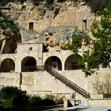
Agios Neophytos Monastery
10.6 km
Paphos Zoo
10.9 km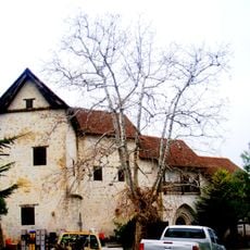
Chrysoroyiatissa Monastery
5.6 km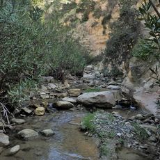
Avakas Gorge
9.2 km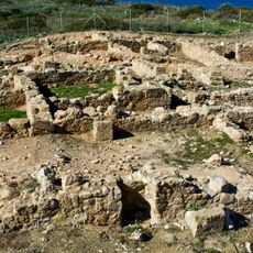
Agios Georgios Pegeia Archaeological Site
12.2 km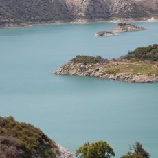
Evretou Reservoir
3.5 km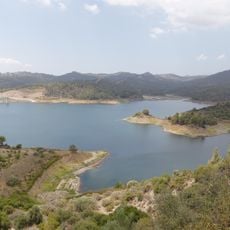
Kannaviou Reservoir
13.4 km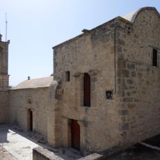
Church of Archangel Michael (Choli)
4.1 km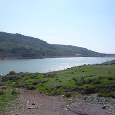
Mavrokolimpos Reservoir
9.9 km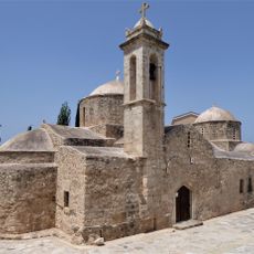
Panagia Chryseleousa, Emba
15.2 km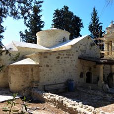
Agios Kirikos and Iouliti (Letymbou)
11.7 km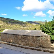
Agios Minas Church (Neo Chorio)
13.2 km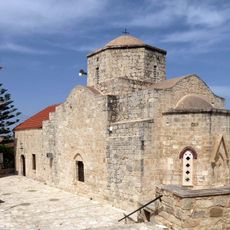
Panagia Chryseleousa (Lysos)
8.5 km
Church of Apostolos Andreas, Emba, Paphos
15.2 km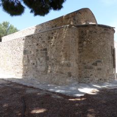
Agios Andronikos, Polis (Cyprus)
10.5 km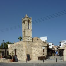
Saint Nicholas church, Polis
10.5 km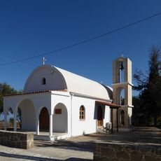
New Church of Agia Paraskevi, Pano Akourdaleia
285 m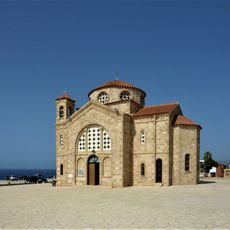
New church of Agios Georgios, Peyia
12.2 km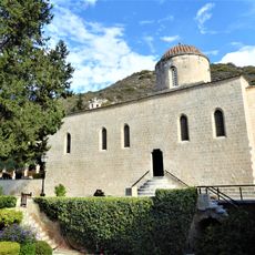
Church of Agios Neophytos Monastery
10.6 km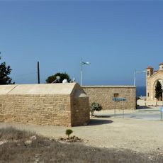
Byzantine church of Agios Georgios, Peyia
12.2 km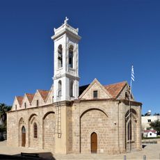
Church of Metamorfosi tou Sotiros (Kissonerga)
13.8 km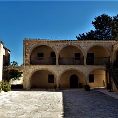
Stavros tis Minthis Monastery
13.8 km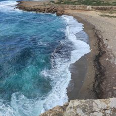
White River Beach
11.3 km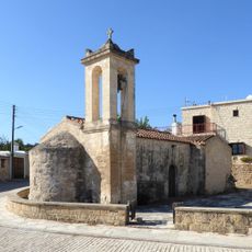
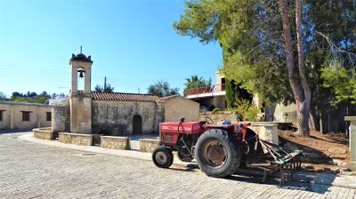
Panagia Chryseleousa, Pano Akourdaleia
252 m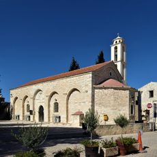
Panagia Evangelistria Church, Kathikas
3.7 km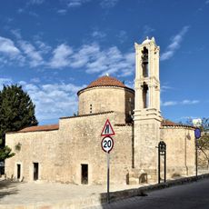
Agia Aikaterini Church, Tala
11.8 km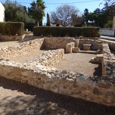
Church ruin of Agia Zinaida and Agia Filonili, Kissonerga
13.8 km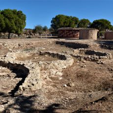
Chalcolithique Village Lempa, Cyprus
14.7 kmVisited this place? Tap the stars to rate it and share your experience / photos with the community! Try now! You can cancel it anytime.
Discover hidden gems everywhere you go!
From secret cafés to breathtaking viewpoints, skip the crowded tourist spots and find places that match your style. Our app makes it easy with voice search, smart filtering, route optimization, and insider tips from travelers worldwide. Download now for the complete mobile experience.

A unique approach to discovering new places❞
— Le Figaro
All the places worth exploring❞
— France Info
A tailor-made excursion in just a few clicks❞
— 20 Minutes