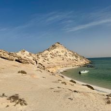
Playa de los Patos, Strand in der Westsahara
Location: Western Sahara
Elevation above the sea: 33 m
GPS coordinates: 23.48333,-15.95000
Latest update: March 14, 2025 01:19
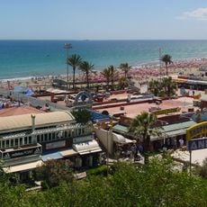
Playa del Inglés
476.4 km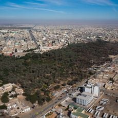
Economy of Mauritania
243.6 km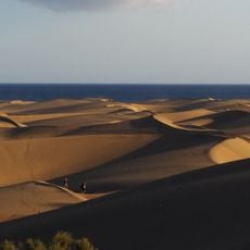
Maspalomas Dunes
475.4 km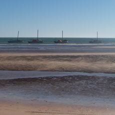
Banc d'Arguin National Park
321.7 km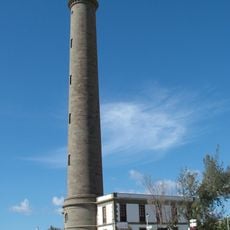
Maspalomas Lighthouse
474.6 km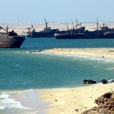
Ship graveyard of Nouadhibou
308.3 km
Kediet ej Jill
357.8 km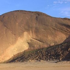
Ben Amera
343.8 km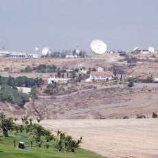
Maspalomas Station
477.5 km
Terjit
464.7 km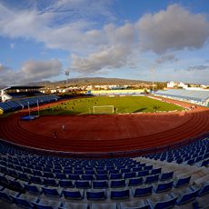
Estadio Municipal de Maspalomas
478.1 km
National parc of Dakhla
172.5 km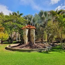
Parque Botánico de Maspalomas
477.4 km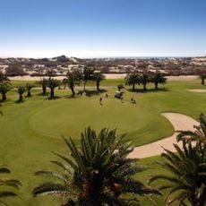
Maspalomas Golf
476.5 km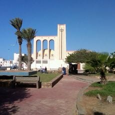
Our Lady of Mount Carmel Church, Dakhla
24.4 km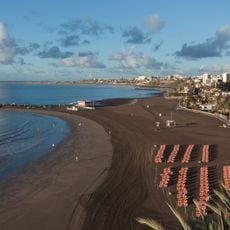
San Agustín
478.8 km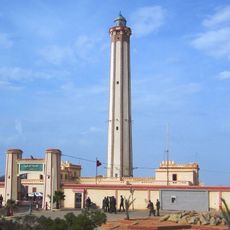
Boujdour lighthouse
329.1 km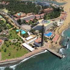
Maspalomas
474.8 km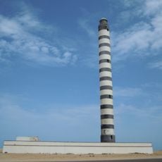
Dakhla Lighthouse
26 km
Ras Nouadhibou lighthouse
322.3 km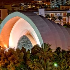
Templo Ecuménico El Salvador, Playa del Inglés
477.5 km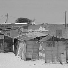
Nouadhibou Mosque
304.8 km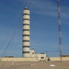
Faro de Cabo Cinq
373.1 km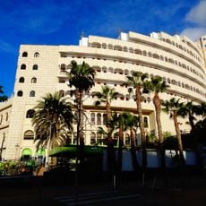
Playa del Inglés
477.3 km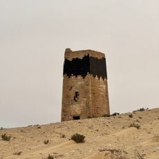
Porto Rico
652 m
Dragon Island
46.2 km
El Llanillo
476.6 kmReviews
Visited this place? Tap the stars to rate it and share your experience / photos with the community! Try now! You can cancel it anytime.
Discover hidden gems everywhere you go!
From secret cafés to breathtaking viewpoints, skip the crowded tourist spots and find places that match your style. Our app makes it easy with voice search, smart filtering, route optimization, and insider tips from travelers worldwide. Download now for the complete mobile experience.

A unique approach to discovering new places❞
— Le Figaro
All the places worth exploring❞
— France Info
A tailor-made excursion in just a few clicks❞
— 20 Minutes