
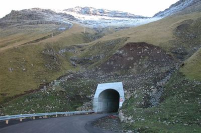
Gásadalstunnilin, tunnel on the Faroe Islands
Location: Sørvágs Municipality
Inception: 2006
Official opening: December 21, 2006
Height: 4.5 m
Length: 1,410 m
GPS coordinates: 62.10389,-7.41389
Latest update: September 23, 2025 16:44
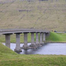
Streymin bridge
24.2 km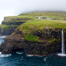
Múlafossur
1.2 km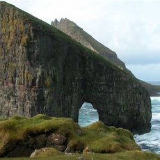
Drangarnir
3.2 km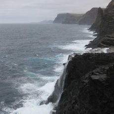
Bøsdalafossur
12.7 km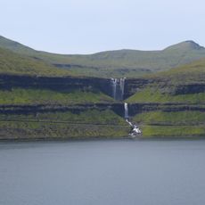
Fossá
24 km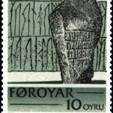
Sandavágur stone
14.8 km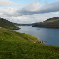
Sørvágsfjørður
3.9 km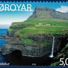
Árnafjall
3.3 km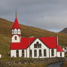
Sandavágur Church
14.8 km
Vørðufelli
7 km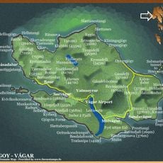
Eysturtindur
1.7 km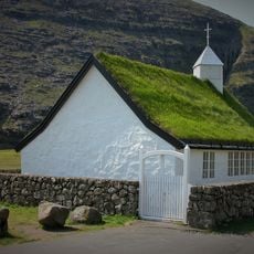
Saksun Church
20 km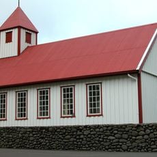
Tjørnuvík Church
24.8 km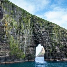
Stóri Drangur
3.2 km
Haldórsvíkar kirkja
25.4 km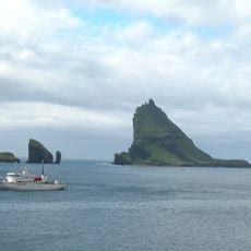
Lítli Drangur
2.3 km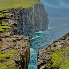
Slave Cliff
13.1 km
Kvívík Church
17.7 km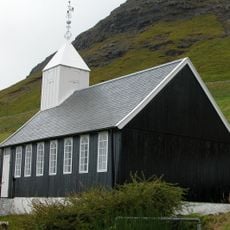
Bíggjar church
3 km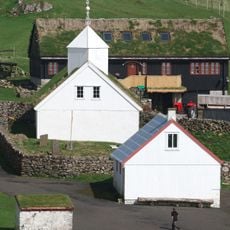
Mykines Church
12 km
Hvalvíkar kirkja
21.7 km
Vestmanna kirkja
13.7 km
Hósvíkar kirkja
25 km
Sørvágs kirkja
6.5 km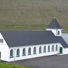
Norðskála kirkja
24.6 km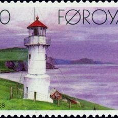
Mykineshólmur Lighthouse
14 km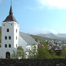
Miðvágs kirkja
13 km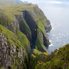
Dunnesdrangar
7.8 kmReviews
Visited this place? Tap the stars to rate it and share your experience / photos with the community! Try now! You can cancel it anytime.
Discover hidden gems everywhere you go!
From secret cafés to breathtaking viewpoints, skip the crowded tourist spots and find places that match your style. Our app makes it easy with voice search, smart filtering, route optimization, and insider tips from travelers worldwide. Download now for the complete mobile experience.

A unique approach to discovering new places❞
— Le Figaro
All the places worth exploring❞
— France Info
A tailor-made excursion in just a few clicks❞
— 20 Minutes