
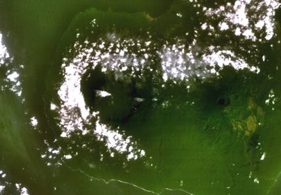
San Carlos, mountain in Equatorial Guinea
Location: Insular Region
Elevation above the sea: 2,261 m
Part of: Àrees protegides de la Guinea Equatorial
GPS coordinates: 3.35801,8.54007
Latest update: March 21, 2025 16:46
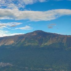
Mount Cameroon
118.8 km
Pico Basilé
35.6 km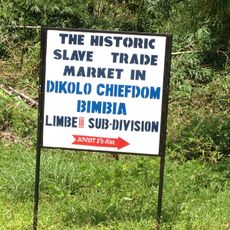
Port négrier de Bimbia
104.6 km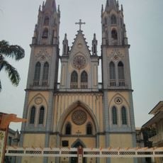
St. Elisabeth Cathedral
52 km
Estadio de Malabo
48.1 km
Limbe Botanical Gardens
103.5 km
Lycée Joss
147.9 km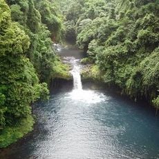
Luba Crater Scientific Reserve
3 km
Douala-Edéa National Park
144.6 km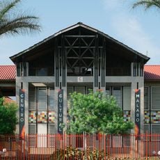
Cultural Center of Spain in Malabo
51 km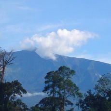
Pico Basilé National Park
35.5 km
General Hospital
148.1 km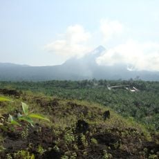
Little Mount Cameroon
102.1 km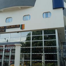
Maritime Museum Of Douala
148 km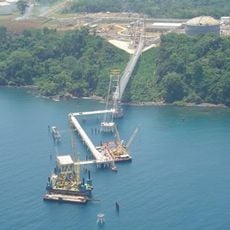
EG LNG Pipeline Suspension Bridge
50.3 km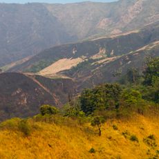
Mount Cameroon National Park
118.6 km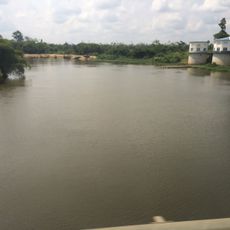
Mungo bridge
142.1 km
Limbe Wildlife Centre
103.5 km
Puerto de Malabo
52.9 km
Boucareau
103.5 km
Malabo National Park
48.2 km
Biblioteca CCEM
51 km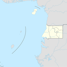
Río Moola
22.7 km
Río Barabecho
50.4 km
Río Ejojo
41.3 km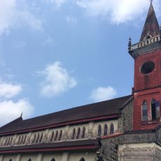
Church building, ibeno
148.2 km
Río Basaca
58 km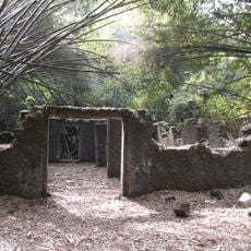
Site des esclaves de Bimbia
104 kmReviews
Visited this place? Tap the stars to rate it and share your experience / photos with the community! Try now! You can cancel it anytime.
Discover hidden gems everywhere you go!
From secret cafés to breathtaking viewpoints, skip the crowded tourist spots and find places that match your style. Our app makes it easy with voice search, smart filtering, route optimization, and insider tips from travelers worldwide. Download now for the complete mobile experience.

A unique approach to discovering new places❞
— Le Figaro
All the places worth exploring❞
— France Info
A tailor-made excursion in just a few clicks❞
— 20 Minutes