
North Tagulandang, district in Siau Tagulandang Biaro Islands Regency, North Sulawesi Province, Indonesia
Location: Siau Tagulandang Biaro Islands
GPS coordinates: 2.35260,125.42935
Latest update: March 3, 2025 00:14

Bunaken
115.5 km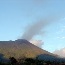
Gamalama
272.6 km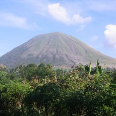
Kentur Lokon
130.5 km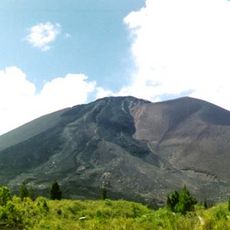
Gunung Soputanpatepangan
158.6 km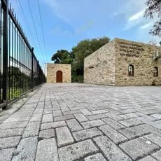
Sha'ar Hashamayim Synagogue (Tondano)
130 km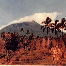
Mount Klabat
109.5 km
Tangkoko Batuangus Nature Reserve
96.8 km
Mount Mahawu
127.7 km
Fort Kastella
274.3 km
Mount Awu
147.9 km
Banua Wuhu
88.3 km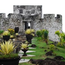
Fort Tolukko
277.2 km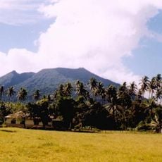
Mount Ibu
263 km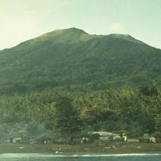
Mount Gamkonora
257.6 km
Mount Tondano
141.6 km
Jailolo
264.7 km
Ruang
8.8 km
Ban Hin Kiong Temple
115.6 km
Mount Tongkoko
97.1 km
Mount Empung
131.5 km
Pantai Indah Modisi
239.3 km
Tompaluan
130.4 km
Gereja GMIBM Efrata Modisi
238.9 km
Bulud Kanari
238.1 km
Taman Nasional Hutan Mangrove
239.2 km
Modisi Beach
240.1 km
Gereja GPDI Modisi
238.5 km
Gereja KGPM Modisi
238.9 kmVisited this place? Tap the stars to rate it and share your experience / photos with the community! Try now! You can cancel it anytime.
Discover hidden gems everywhere you go!
From secret cafés to breathtaking viewpoints, skip the crowded tourist spots and find places that match your style. Our app makes it easy with voice search, smart filtering, route optimization, and insider tips from travelers worldwide. Download now for the complete mobile experience.

A unique approach to discovering new places❞
— Le Figaro
All the places worth exploring❞
— France Info
A tailor-made excursion in just a few clicks❞
— 20 Minutes