
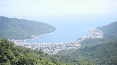
Tahuna, district in Sangihe Islands Regency, North Sulawesi Province, Indonesia
Location: Sangihe Islands
Elevation above the sea: 180 m
GPS coordinates: 3.63639,125.46361
Latest update: March 4, 2025 03:31
Bunaken
237.2 km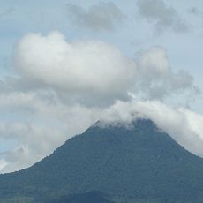
Mount Matutum
306.2 km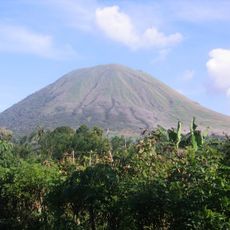
Kentur Lokon
263.5 km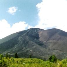
Gunung Soputanpatepangan
292.7 km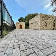
Sha'ar Hashamayim Synagogue (Tondano)
266.5 km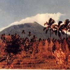
Mount Klabat
247.7 km
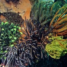
Tangkoko Batuangus Nature Reserve
237.8 km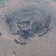
Gunung Dukono
344.5 km
Mount Mahawu
262.4 km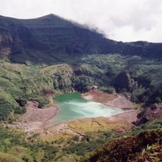
Mount Awu
5.1 km
Banua Wuhu
54.7 km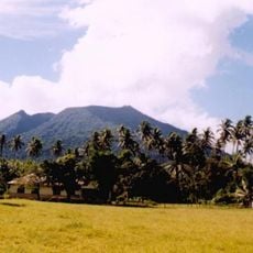
Mount Ibu
339.3 km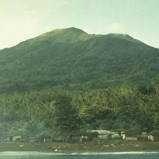
Mount Gamkonora
340.4 km
Mount Tondano
277 km
Ruang
149.1 km
Ban Hin Kiong Temple
248.2 km
Mount Tongkoko
238.3 km
Mount Empung
264.4 km
Pacman Beach Resort Complex
256.6 km
Tompaluan
263.5 km
Burial Site of the Seventeen Filipino Martyrs of Koronadal historical marker
325.9 km
Mount Parker
283.1 km
Gen. Paulino Santos historical marker
277.5 km
KCC Cinema
326 km
Koronadal Cathedral
325.9 km
Wasag Beach
327.3 km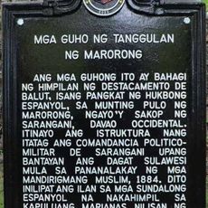
Ruins of Fort Marorong historical marker
198.1 km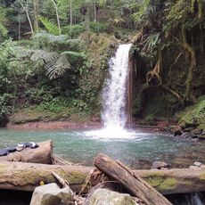
Balnunto Falls
331.9 kmReviews
Visited this place? Tap the stars to rate it and share your experience / photos with the community! Try now! You can cancel it anytime.
Discover hidden gems everywhere you go!
From secret cafés to breathtaking viewpoints, skip the crowded tourist spots and find places that match your style. Our app makes it easy with voice search, smart filtering, route optimization, and insider tips from travelers worldwide. Download now for the complete mobile experience.

A unique approach to discovering new places❞
— Le Figaro
All the places worth exploring❞
— France Info
A tailor-made excursion in just a few clicks❞
— 20 Minutes