
Mühlheim am Inn, municipality in Ried im Innkreis District, Upper Austria, Austria
Location: Ried District
Elevation above the sea: 343 m
Shares border with: Malching, Bad Füssing, Kirchdorf am Inn, Geinberg, Weng im Innkreis, Mining
Email: gemeinde@muehlheim-inn.ooe.gv.at
Website: http://muehlheim.at
GPS coordinates: 48.28333,13.21694
Latest update: March 4, 2025 18:20
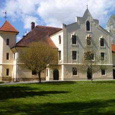
Schloss Mamling
2 km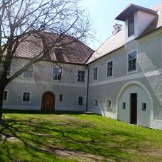
Schloss Sunzing
1.8 km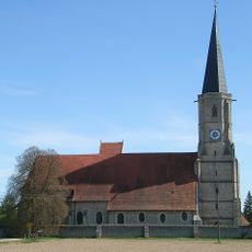
Mariä Himmelfahrt zu St. Leonhard
4.3 km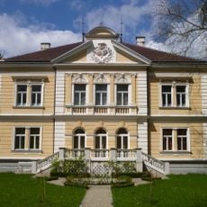
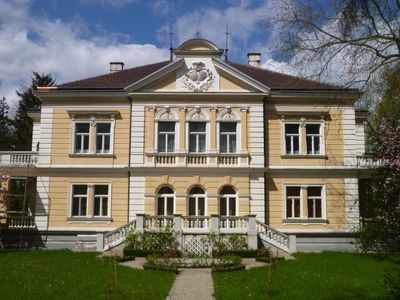
Schloss Mühlheim, Upper Austria
375 m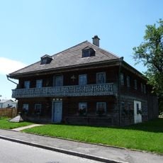
Römermuseum Altheim
4.4 km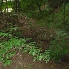
Burgstall Altheim (Oberösterreich)
2.8 km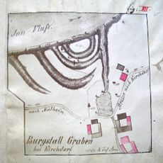
Burg Graben
3.4 km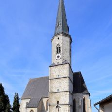
Church of the Assumption
5 km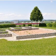
Villa rustica of Altheim-Weirading
4.8 km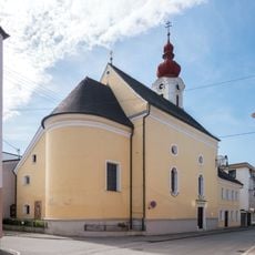
Marktkirche hl. Sebastian, Altheim
3.9 km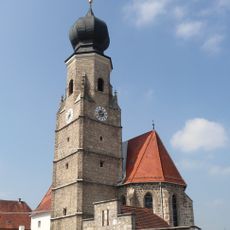
St. Stephan
4.1 km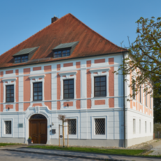
Ehemaliges Fürstbischöfliches Schloss
4.3 km
Church of the Assumption (Mühlheim am Inn)
369 m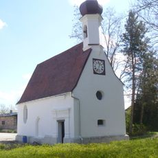
Schlosskapelle Mamling
2 km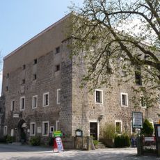
Pflegerkasten
4.2 km
Ulrichs-Kapelle
3.5 km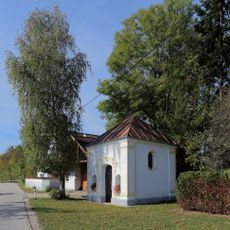
Johannes Nepomukkapelle
346 m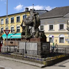
Kriegerdenkmal Altheim
3.9 km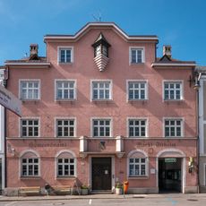
Ehemaliges Rathaus
3.9 km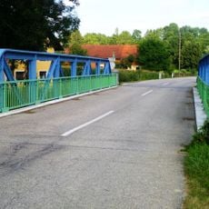
Lochbachbrücke
4.6 km
Pfarrhof
4.4 km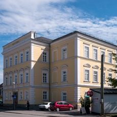
Alte Volksschule
3.9 km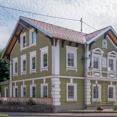
Landesmusikschule (Altheim, OÖ)
3.8 km
Altheim Gatterbauerliegenschaft
4 km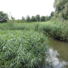
Unterer Inn
2.4 km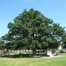
Weinlechnereiche in Altheim
3.7 km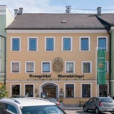
Braugasthof Wurmhöringer
3.9 km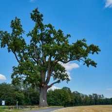
Stieleiche bei Obersunzing
2.7 kmVisited this place? Tap the stars to rate it and share your experience / photos with the community! Try now! You can cancel it anytime.
Discover hidden gems everywhere you go!
From secret cafés to breathtaking viewpoints, skip the crowded tourist spots and find places that match your style. Our app makes it easy with voice search, smart filtering, route optimization, and insider tips from travelers worldwide. Download now for the complete mobile experience.

A unique approach to discovering new places❞
— Le Figaro
All the places worth exploring❞
— France Info
A tailor-made excursion in just a few clicks❞
— 20 Minutes