
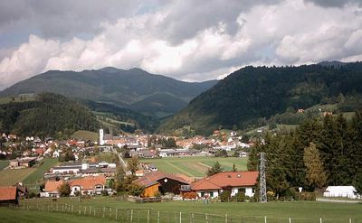
Passail, municipality in Weiz District, Styria, Austria
Location: Weiz District
Elevation above the sea: 653 m
Shares border with: Fladnitz an der Teichalm
Email: marktgemeinde@passail.at
Website: http://passail.at
GPS coordinates: 47.28167,15.51361
Latest update: March 13, 2025 07:42
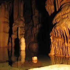
Katerloch
4.2 km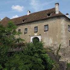
Schloss Gutenberg
8.8 km
Grasslhöhle
4.9 km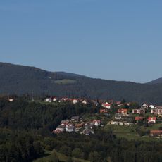
Gutenberg an der Raabklamm
8 km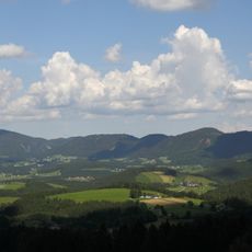
Naturpark Almenland
8.5 km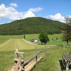
Gschaidberg
6.3 km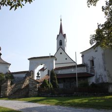
Loreto Church Gutenberg an der Raabklamm
8.5 km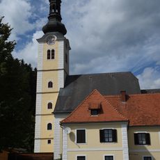
Veitskirche
26 m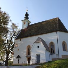
Annakirche
620 m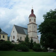
Pfarrkirche hl. Nikolaus, Fladnitz an der Teichalm
2.7 km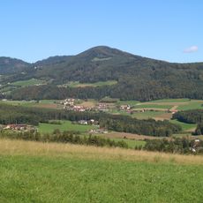
Stross
5.9 km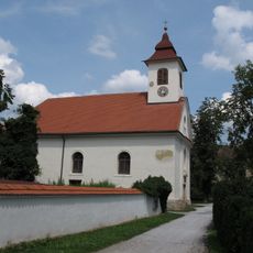
Pfarrkirche Gutenberg an der Raabklamm
8.8 km
Passailer Hofhaus
249 m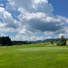
Golfclub Almenland
1.7 km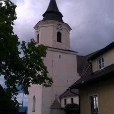
Pfarrkirche St. Kathrein am Offenegg
5.1 km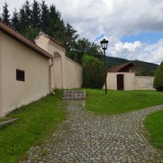
Ehem. Friedhof mit Ummauerung, integrierten 4 Figuren und Initienkapellen
2.8 km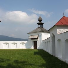
Cemetery of Loretokirche
8.5 km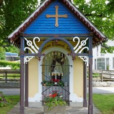
Nepomuk-Kapelle
324 m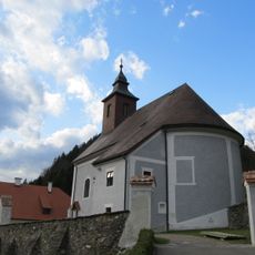
Jakobuskirche
3.7 km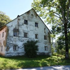
Bauernhaus Kernbichler
2.4 km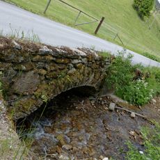
Straßenbrücke Passail
4.1 km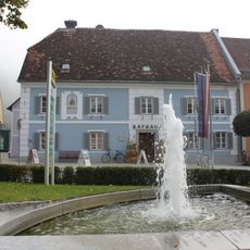
Passailer Rathaus
143 m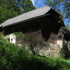
Bauernhof Grabenbauer
5.3 km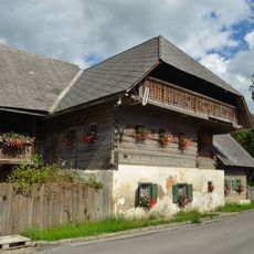
Rauchstubenhaus, Fladnitz an der Teichalm
2.6 km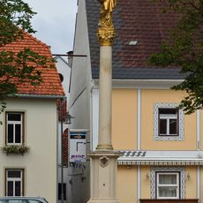
Mariensäule
121 m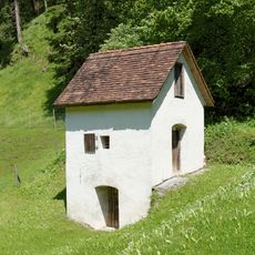
Pulverturm
3.4 km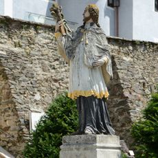
Figurenbildstock hl. Johannes Nepomuk und Brunnen
3.7 km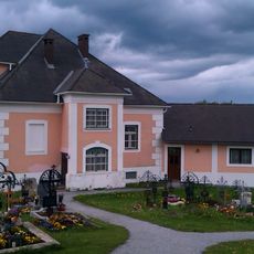
Pfarrhof
5.1 kmReviews
Visited this place? Tap the stars to rate it and share your experience / photos with the community! Try now! You can cancel it anytime.
Discover hidden gems everywhere you go!
From secret cafés to breathtaking viewpoints, skip the crowded tourist spots and find places that match your style. Our app makes it easy with voice search, smart filtering, route optimization, and insider tips from travelers worldwide. Download now for the complete mobile experience.

A unique approach to discovering new places❞
— Le Figaro
All the places worth exploring❞
— France Info
A tailor-made excursion in just a few clicks❞
— 20 Minutes