
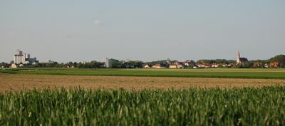
Lichtenwörth, municipality in Wiener Neustadt District, Lower Austria, Austria
Location: Wiener Neustadt(Land) District
Elevation above the sea: 254 m
Shares border with: Eggendorf, Zillingdorf, Pöttsching, Neudörfl, Wiener Neustadt
Email: gemeindeamt@lichtenwoerth.at
Website: http://lichtenwoerth.at
GPS coordinates: 47.83200,16.29569
Latest update: March 13, 2025 08:43
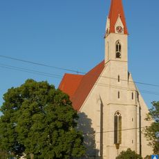
Pfarrkirche Lichtenwörth
69 m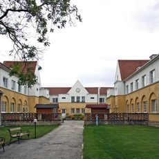
Landespflegeanstalt Neudörfl
3.5 km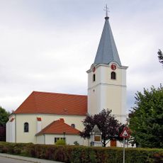
Pfarrkirche Mariae Geburt
4.1 km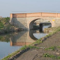
Category:Schafflerwegbrücke
2 km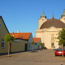
Filialkirche Hl Theresia
613 m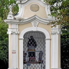
Flur-/Wegkapelle
3.8 km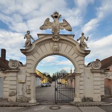
Adlertor
588 m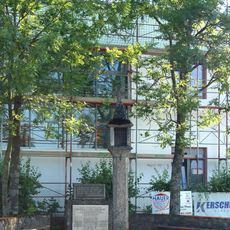
Bildstock, Raaber Kreuz
3.7 km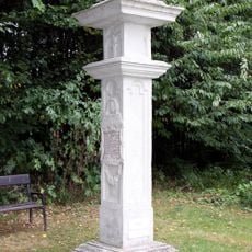
Bildstock, Santer-, Marien- oder Wetterkreuz
5.3 km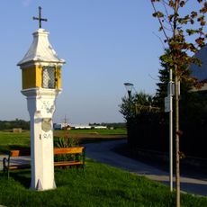
Bildstock Rondellgasse
579 m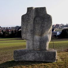
Pöttsching sculpture trail
5.2 km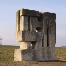
Grenzstein
4.9 km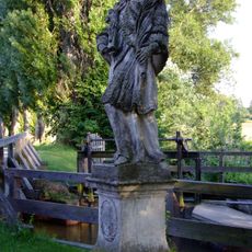
Hl Nepomuk
1.2 km
Bildstock Novak-Straße
315 m
Bildstock
1.6 km
Römische Villa Heuthale
2.4 km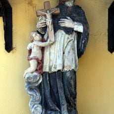
Nepomukstatue
2.1 km
Wiener Neustädter Kanal
2.1 km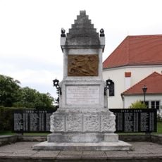
Kriegerdenkmal
4.1 km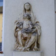
Figurenbildstock Madonna
330 m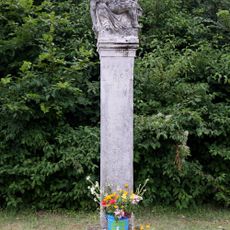
Pietà-Pfeiler
6.4 km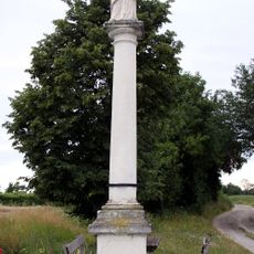
Mariensäule südwestlich des Ortes, Pöttsching
5.9 km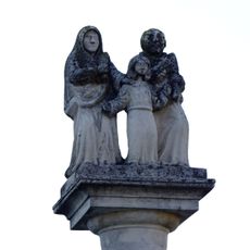
Bildstock Josefskreuz
567 m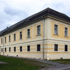
Ehem. Esterhazysches Kastell
3.7 km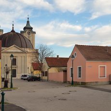
Nadelburg
660 m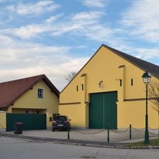
Gasthaus
650 m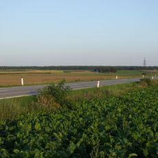
Gräberfeld Untere Haidäcker
3.3 km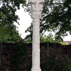
Pest-/Dreifaltigkeitssäule
3.4 kmVisited this place? Tap the stars to rate it and share your experience / photos with the community! Try now! You can cancel it anytime.
Discover hidden gems everywhere you go!
From secret cafés to breathtaking viewpoints, skip the crowded tourist spots and find places that match your style. Our app makes it easy with voice search, smart filtering, route optimization, and insider tips from travelers worldwide. Download now for the complete mobile experience.

A unique approach to discovering new places❞
— Le Figaro
All the places worth exploring❞
— France Info
A tailor-made excursion in just a few clicks❞
— 20 Minutes