
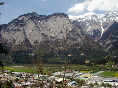
Völs, municipality in Innsbruck-Land District, Tyrol, Austria
Location: Innsbruck-Land District
Elevation above the sea: 574 m
Shares border with: Zirl, Innsbruck
Email: gemeinde@voels.tirol.gv.at
Website: http://voels.at
GPS coordinates: 47.25000,11.33333
Latest update: April 14, 2025 16:16
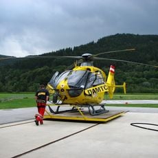
Christophorus 1
1.2 km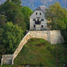
Vellenberg Castle
1.8 km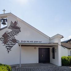
Kreuzkirche
1.8 km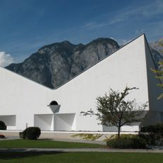
Emmaus Church
415 m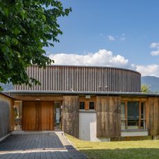
Pfarrzentrum Kranebitten
1.5 km
Wohnen am Lohbach
1.8 km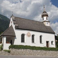
Filialkirche Mariä Heimsuchung, Kranebitten
1.5 km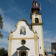
Völs, alte Pfarrkirche
442 m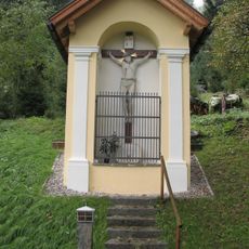
Völs, Schwarzkreuz Kapelle
1 km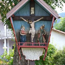
Kreuzgruppe Pestfriedhof Völs Tirol
748 m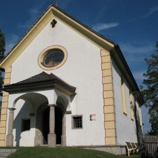
Völs, Wallfahrtskirche Heiliger Blasius
627 m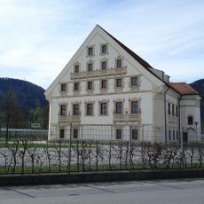
Pulverturm
1.6 km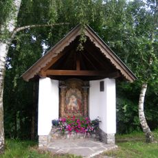
Berger-Kapelle
1.3 km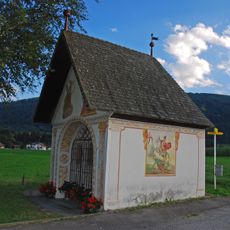
Feldkapelle, Höll-Kapelle
1 km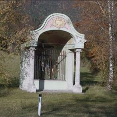
Wegkapelle Kranebitten
1.3 km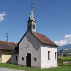
Harterhof-Kapelle
1.8 km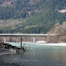
Kranebitter Innbrücke
1.4 km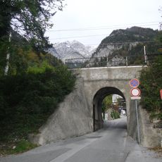
Mittenwaldbahn – Brücke Klammstraße
2.2 km
Bahnhof Kranebitten
2.2 km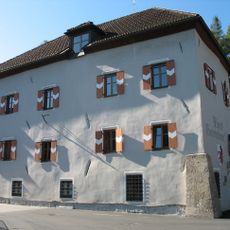
Gemeindeamt Völs
496 m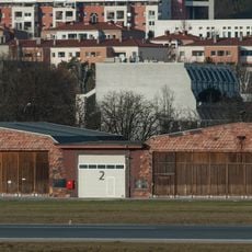
Garage, zwei Hangargebäude
1.8 km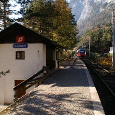
Station building Kranebitten
2.2 km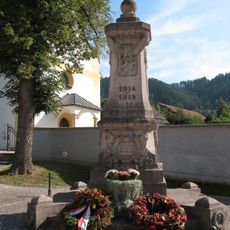
Kriegerdenkmal
469 m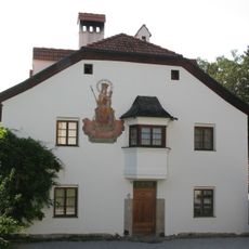
Wohnhaus, ehem. Widum
660 m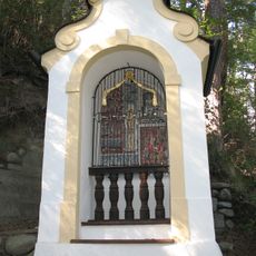
Völs 7 Bildstöcke
614 m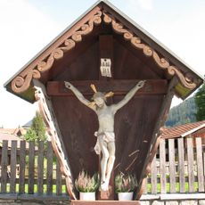
Wegkreuz
463 m
Neue Universitätssternwarte Innsbruck
1.7 km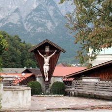
Kreuz, Dorfstraße .55, Völs
430 mReviews
Visited this place? Tap the stars to rate it and share your experience / photos with the community! Try now! You can cancel it anytime.
Discover hidden gems everywhere you go!
From secret cafés to breathtaking viewpoints, skip the crowded tourist spots and find places that match your style. Our app makes it easy with voice search, smart filtering, route optimization, and insider tips from travelers worldwide. Download now for the complete mobile experience.

A unique approach to discovering new places❞
— Le Figaro
All the places worth exploring❞
— France Info
A tailor-made excursion in just a few clicks❞
— 20 Minutes