
Badesee Mitterkirchen, pond in Upper Austria
Location: Mitterkirchen im Machland
Elevation above the sea: 235 m
GPS coordinates: 48.18700,14.68170
Latest update: August 18, 2025 19:52
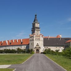
Schloss Wallsee
3.3 km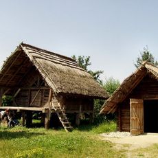
Celtic Museum in Mitterkirchen im Machland
3.5 km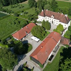
Schloss Achleiten bei Limbach
4.3 km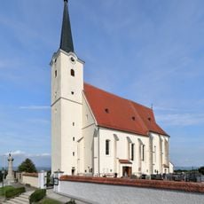
Pfarrkirche Sindelburg
4.1 km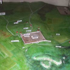
Castra Ad Iuvense
3.4 km
Wallfahrtskirche Maria Laab
4.7 km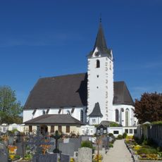
Parish Church in Mitterkirchen im Machland
2.1 km
Wasenberg (Mitterkirchen in Machland)
1.9 km
Franziskuskapelle in Arbing
4.8 km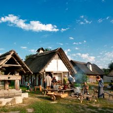
Freilichtmuseum Mitterkirchen
3.5 km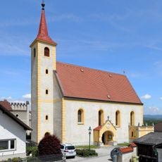
Filialkirche hl. Anna Wallsee
3.4 km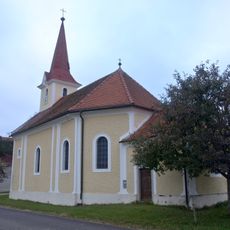
Ortskapelle Strengberg
4.4 km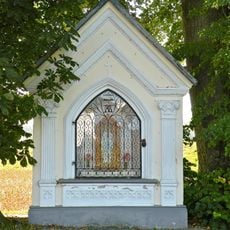
Grüner-Kapelle
2.1 km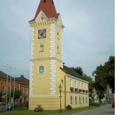
Rathaus Wallsee
3.4 km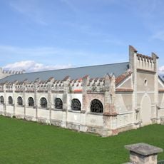
Reithalle Wallsee
3.3 km
Bauernhof Kappllehen
4.2 km
Pfarrhof Ried Wallsee
4.2 km
Figurenbildstock Maria Immaculata Wallsee
3.3 km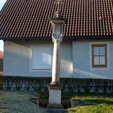
Kreuzsäule Wallsee
4 km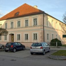
Bürgerhaus Marktplatz 14 Wallsee
3.4 km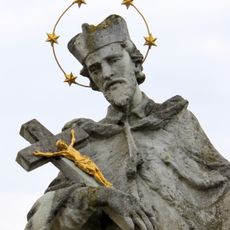
Johannes Nepomuk Wallsee
3.7 km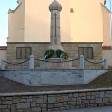
Kriegerdenkmal
4.1 km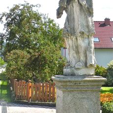
Figur Hl. Johannes Nepomuk
4.7 km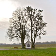
Kastanie und Linde bei der Grüner Kapelle
2.1 km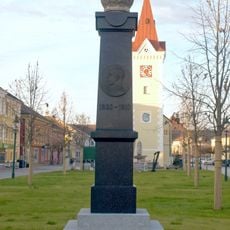
Franz-Joseph-Denkmal
3.4 km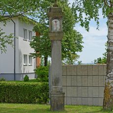
Bildstock
3.6 km
Eiche in Hütting
1.6 km
Römischer Kastellvicus Locus Felicis
3.5 kmReviews
Visited this place? Tap the stars to rate it and share your experience / photos with the community! Try now! You can cancel it anytime.
Discover hidden gems everywhere you go!
From secret cafés to breathtaking viewpoints, skip the crowded tourist spots and find places that match your style. Our app makes it easy with voice search, smart filtering, route optimization, and insider tips from travelers worldwide. Download now for the complete mobile experience.

A unique approach to discovering new places❞
— Le Figaro
All the places worth exploring❞
— France Info
A tailor-made excursion in just a few clicks❞
— 20 Minutes