
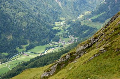
Groder, human settlement in Austria
Location: Prägraten am Großvenediger
Elevation above the sea: 1,512 m
GPS coordinates: 47.01840,12.33400
Latest update: April 3, 2025 10:05
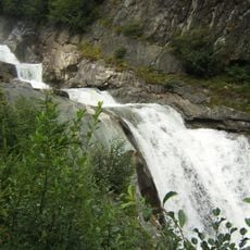
Umbal falls
2.8 km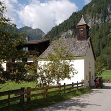
Ströden
1 km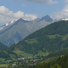
Mullwitzkogel
3 km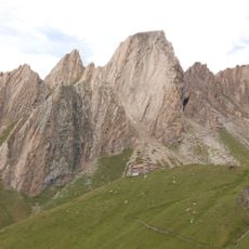
Rote Säule
2.7 km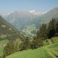
Finsterwitzkopf
1.8 km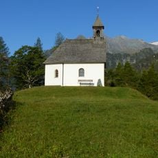
Kapelle zum Hl. Geist
2.1 km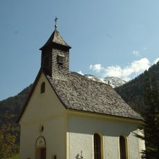
Herz Jesu Kapelle
1.1 km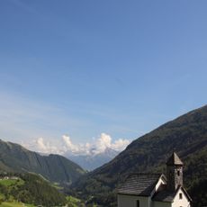
Kapelle Maria vom Guten Rat
51 m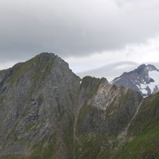
Schlüsselspitze
3 km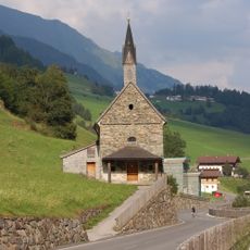
Sankt Crysanth und Sebastian
572 m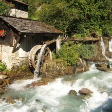
Water mill at Islitzbach, Prägraten am Großvenediger
403 m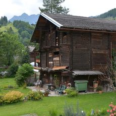
Wirtschaftsgebäude Olcher
3 km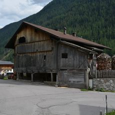
Bauernhaus Innerglanz
3 km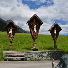
Oberfeldkreuz
1.1 km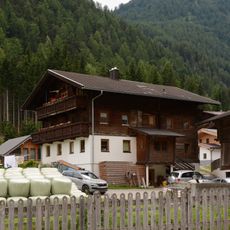
Bauernhaus Pötzer
524 m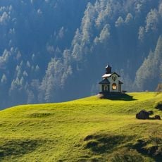
Hubertuskapelle Hinterbichl
997 m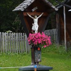
Wegkreuz Losach
2.1 km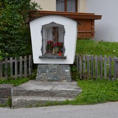
Nischenbildstock hl. Florian in St. Andrä
3 km
Bauernhaus Klamperer
3 km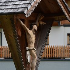
Wegkreuz Innerglanz
3 km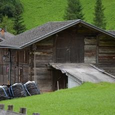
Wirtschaftsgebäude Hinterbichl 26
1.1 km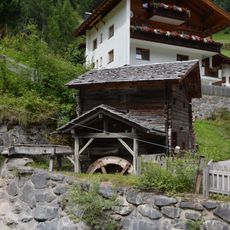
Getreidemühle Hinterbichl
418 m
Wegkreuz Unterfeld
1.1 km
Weifer Gatterharpfe
1.4 km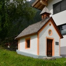
Klostererkapelle St. Andrä
3 km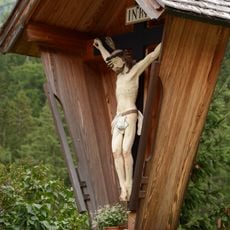
Wegkreuz Oberfeld
1.1 km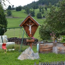
Wegkreuz Löxen
2.9 km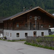
Bauernhaus Löxen
2.9 kmReviews
Visited this place? Tap the stars to rate it and share your experience / photos with the community! Try now! You can cancel it anytime.
Discover hidden gems everywhere you go!
From secret cafés to breathtaking viewpoints, skip the crowded tourist spots and find places that match your style. Our app makes it easy with voice search, smart filtering, route optimization, and insider tips from travelers worldwide. Download now for the complete mobile experience.

A unique approach to discovering new places❞
— Le Figaro
All the places worth exploring❞
— France Info
A tailor-made excursion in just a few clicks❞
— 20 Minutes