
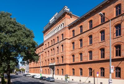
Militär-Verpflegungsetablissement, Denkmalgeschütztes Objekt in Leopoldstadt (4525)
Location: Vienna
Location: Leopoldstadt
Address: Obere Donaustraße 17-19
GPS coordinates: 48.22360,16.36970
Latest update: March 4, 2025 09:34
Polizeigebäude Rossauer Lände
446 m
Augartenkirche
297 m
Rossauer Brücke
469 m
Erich Fried Realgymnasium
348 m
Messiaskapelle Alsergrund
415 m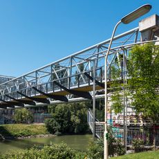
Siemens-Nixdorf-Steg
145 m
Wettsteinpark, Vienna
146 m
Rosarium Wettsteinpark
212 m
Wohnhausanlage Pramergasse 30
293 m
Statue of John of Nepomuk, Rossauer Brücke
457 m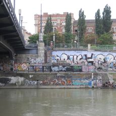
Donaukanalregulierung und -verbauung (samt Brücken, Geländer und sonstigem), KG Alsergrund
381 m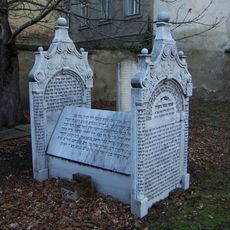
Grabsteine mit hebräischen Schriftzeichen vom ehem. Friedhof
428 m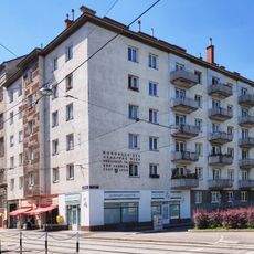
Gemeindebau Untere Augartenstraße 39
396 m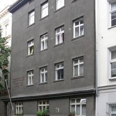
D’Orsaygasse 6, Vienna
388 m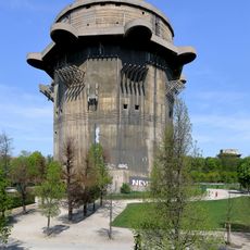
Gefechtsturm Augarten
362 m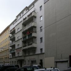
Müllnergasse 20, Vienna
458 m
Wohnhausanlage Obere Augartenstraße 12a-14a
191 m
Messiaskapelle Alsergrund
417 m
Wohnhausanlage der Gemeinde Wien
419 m
Residential building Georg-Sigl-Gasse 12
210 m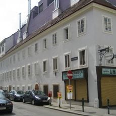
Wohnhaus, Schrey´sches Stiftungshaus, ehem. Armenschulhaus
433 m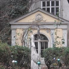
Pavillon/Gartenhaus, W.Kienzl-Gartenhaus
479 m
Bürgerhaus
269 m
Bürgerhaus
277 m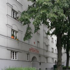
Wohnhausanlage der Gemeinde Wien
254 m
Bürgerhaus, Rembrandthof
294 m
Wohnhausanlage Untere Augartenstraße 1-3
434 m
Haus Rossau
458 mReviews
Visited this place? Tap the stars to rate it and share your experience / photos with the community! Try now! You can cancel it anytime.
Discover hidden gems everywhere you go!
From secret cafés to breathtaking viewpoints, skip the crowded tourist spots and find places that match your style. Our app makes it easy with voice search, smart filtering, route optimization, and insider tips from travelers worldwide. Download now for the complete mobile experience.

A unique approach to discovering new places❞
— Le Figaro
All the places worth exploring❞
— France Info
A tailor-made excursion in just a few clicks❞
— 20 Minutes