
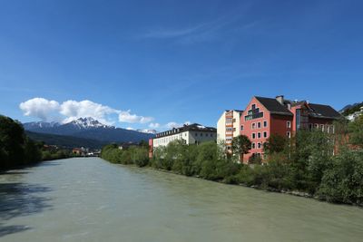
Mariahilf-St. Nikolaus, quarter of Innsbruck, Austria
Location: Innsbruck
Elevation above the sea: 580 m
GPS coordinates: 47.26917,11.38972
Latest update: April 5, 2025 18:27
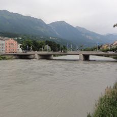
Innbrücke
104 m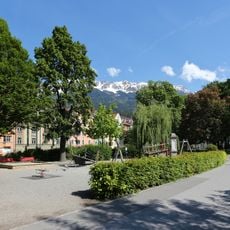
Waltherpark
140 m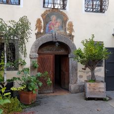
Innstraße 23a, Innsbruck
126 m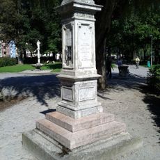
Geographensäule
137 m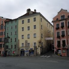
Ehem. Haus Goldener Greif/Tachezy, Höttinger Gasse 1, Innsbruck
23 m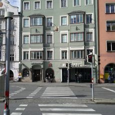
Metropol Multiplex
38 m
Innstraße 3, Innsbruck
33 m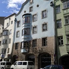
Wohnhaus Goldenes Kreuz (Haupthaus mit Stöckl)
80 m
Malfattischlössl
85 m
Bürgerhaus
89 m
Telfserhaus
50 m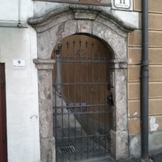
Hausportal
30 m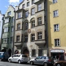
Ansitz Rainfels
96 m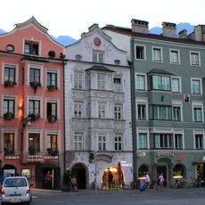
Bürgerhaus
28 m
Malfatti-Haus
40 m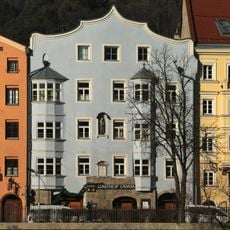
Gasthaus Weißes Lamm, Innsbruck
58 m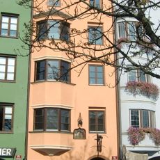
Altes Hufschmiedhaus
63 m
Mariahilfstraße 22, Innsbruck
89 m
Haus Weithas
112 m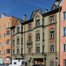
Seifensiederhaus, Innsbruck
132 m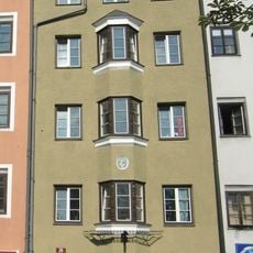
Bürgerhaus
107 m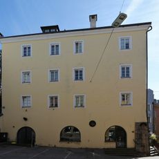
Ehem. Chiemseehaus
7 m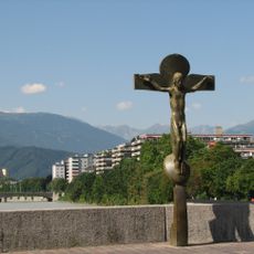
Kruzifix auf der Innbrücke
126 m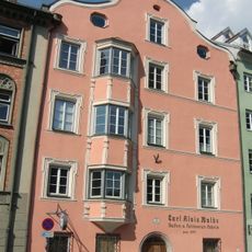
Bürgerhaus
145 m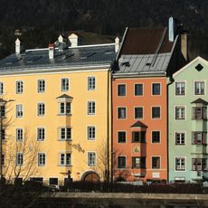
Gasthaus Zum Mohren
135 m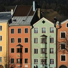
Mariahilfstraße 30
120 m
Innstraße 21
114 m
Bürgerhaus
54 mReviews
Visited this place? Tap the stars to rate it and share your experience / photos with the community! Try now! You can cancel it anytime.
Discover hidden gems everywhere you go!
From secret cafés to breathtaking viewpoints, skip the crowded tourist spots and find places that match your style. Our app makes it easy with voice search, smart filtering, route optimization, and insider tips from travelers worldwide. Download now for the complete mobile experience.

A unique approach to discovering new places❞
— Le Figaro
All the places worth exploring❞
— France Info
A tailor-made excursion in just a few clicks❞
— 20 Minutes