
Maßenberg, mountain in Austria
Location: Schrems
Elevation above the sea: 585 m
GPS coordinates: 48.81234,15.13016
Latest update: June 7, 2025 07:17

Himmelsleiter
3 km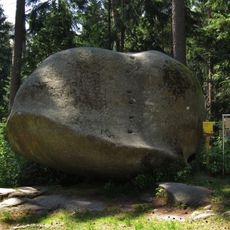
Balancing rock in the Schrems forest
4 km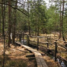
Naturpark Heidenreichsteiner Moor
4.5 km
UnterWasserReich
3.9 km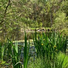
Naturpark Hochmoor Schrems
2.8 km
Saint Giles Church
4.2 km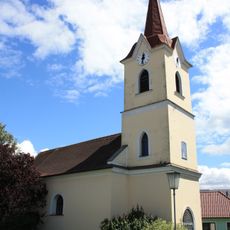
Ortskapelle Eulenbach
3.7 km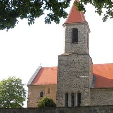
Saint John the Baptist Church
2.9 km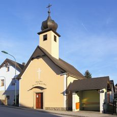
Ortskapelle Zur Himmelfahrt Unserer Lieben Frau
3.6 km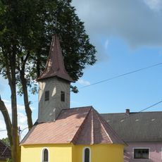
Ortskapelle Guttenbrunn
1.2 km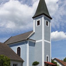
Chapel in Heinreichs
3.7 km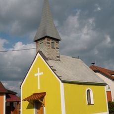
Ortskapelle Haslau
1.2 km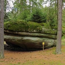
Käs im Laibstein ("Cheese inside the loaf stone")
4.2 km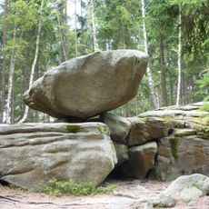
Hängender Stein
4.8 km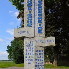
Europäische Wasserscheide
4.6 km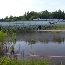
Unterwasserreich, Schrems
3.9 km
Brunnberg
3 km
Steinbruch Hartberg
2.3 km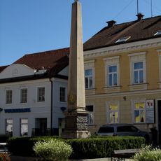
Kaiser-Franz-Joseph-Gedächtnisobelisk, Schrems
4.8 km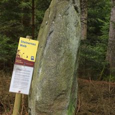
Steinernes Weib ("Stone Woman")
1.2 km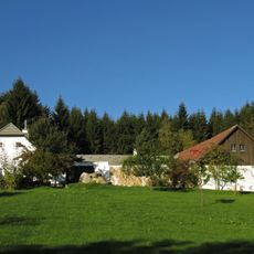
Ehem. Bauernhof
3.8 km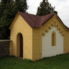
Mausoleum
4.2 km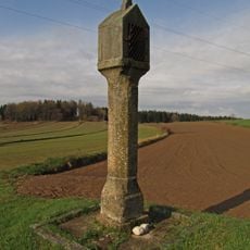
Bildstock
2.2 km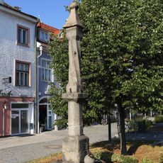
Pranger Schrems
4.9 km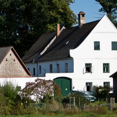
Ehem. Industriemühle in Kurzschwarza
4 km
Öffentliche Bücherei Amaliendorf-Aalfang
3.6 km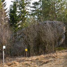
Wasserstein Rock
2.5 km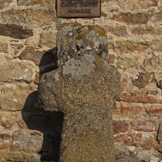
Faltersäule
2.9 kmReviews
Visited this place? Tap the stars to rate it and share your experience / photos with the community! Try now! You can cancel it anytime.
Discover hidden gems everywhere you go!
From secret cafés to breathtaking viewpoints, skip the crowded tourist spots and find places that match your style. Our app makes it easy with voice search, smart filtering, route optimization, and insider tips from travelers worldwide. Download now for the complete mobile experience.

A unique approach to discovering new places❞
— Le Figaro
All the places worth exploring❞
— France Info
A tailor-made excursion in just a few clicks❞
— 20 Minutes