
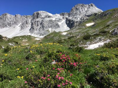
Riedingtal, valley in Salzburg, Austria
Location: Zederhaus
Inception: 2002
GPS coordinates: 47.18666,13.36469
Latest update: March 5, 2025 15:11
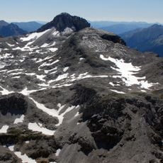
Mosermandl
3.2 km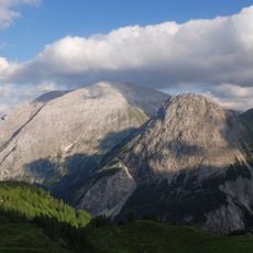
Weißeck
3.5 km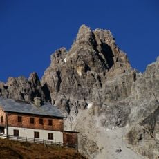
Faulkogel
3.4 km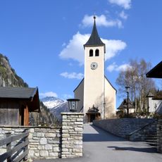
Saint Joseph Church (Hüttschlag)
10 km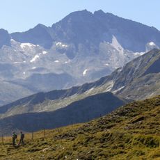
Kölnbreinspitze
10.5 km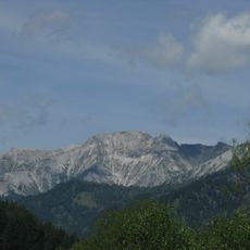
Hochfeind
9.8 km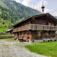
Talmuseum Hüttschlag
7.4 km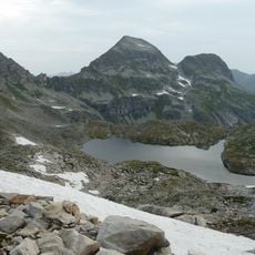
Oberer Schwarzsee
9 km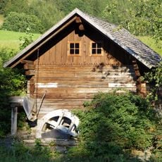
Maurermühle, Rothenwand
8 km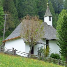
Mariahilfkapelle Rothenwand
6.9 km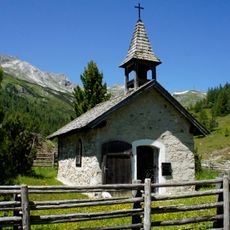
Lantschfeldkapelle
9.9 km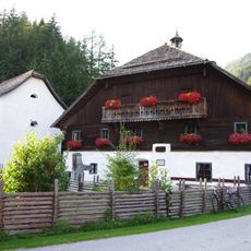
Denkmalhof Maurergut
8 km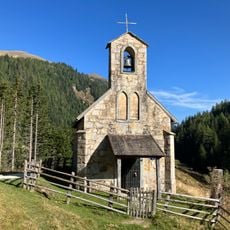
Muritzenkapelle, Muhr
6.5 km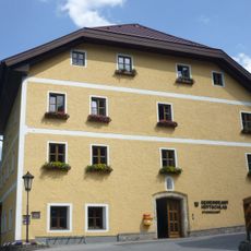
Rathaus/Gemeindeamt
10.1 km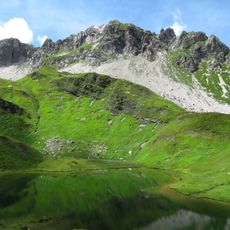
Wildkarkopf
1.9 km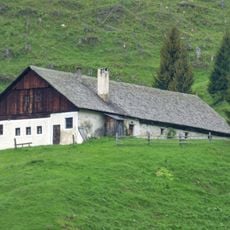
Mühlbachergut Zederhaus
6.6 km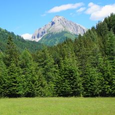
Riedingspitze
913 m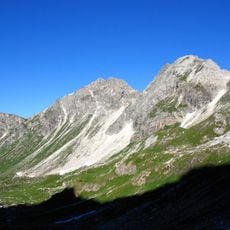
Rothorn
2.5 km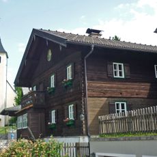
Pfarrhof
10.1 km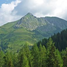
Draugstein
5.8 km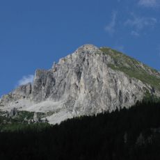
Zwillingwand
7.7 km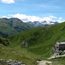
Nebelkareck
5.3 km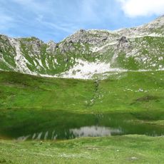
Stierkarkopf
1.5 km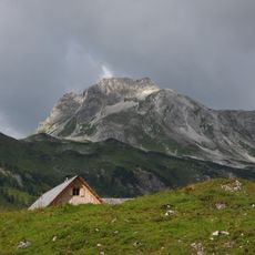
Stampferwand
7.9 km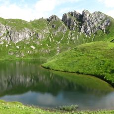
Kempen
4.4 km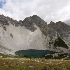
Großer Pleißlingkeil
10.6 km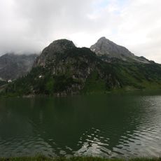
Weißgrubenkopf
2.4 km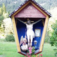
Kruzifix/Kreuz, Maurerkreuz
8 kmReviews
Visited this place? Tap the stars to rate it and share your experience / photos with the community! Try now! You can cancel it anytime.
Discover hidden gems everywhere you go!
From secret cafés to breathtaking viewpoints, skip the crowded tourist spots and find places that match your style. Our app makes it easy with voice search, smart filtering, route optimization, and insider tips from travelers worldwide. Download now for the complete mobile experience.

A unique approach to discovering new places❞
— Le Figaro
All the places worth exploring❞
— France Info
A tailor-made excursion in just a few clicks❞
— 20 Minutes