
Raasberg, mountain in the Grazer Bergland in Styria
Location: Thannhausen
Elevation above the sea: 1,009 m
GPS coordinates: 47.25037,15.65994
Latest update: March 2, 2025 20:54

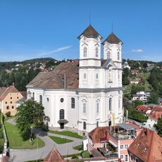
Weizbergkirche
3.5 km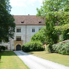
Schloss Thannhausen
2.9 km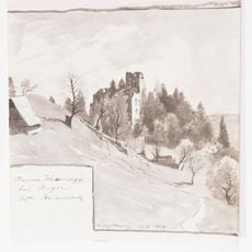
Burgruine Waxenegg
2.7 km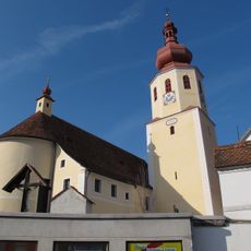
Pfarrkirche Anger
3.5 km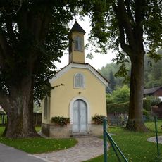
Ortskapelle Ponigl
2.1 km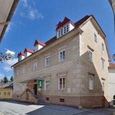
Stainpeißhaus Anger
3.5 km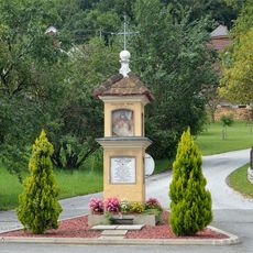
Bildstock Peesen 30
2.6 km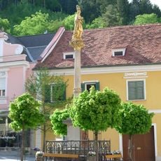
Maria column Anger, Styria
3.4 km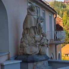
Figurenbildstock hl. Johannes Nepomuk
3.4 km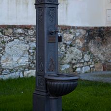
Brunnen
3.5 km
Peesenbach-Viadukt
2.5 km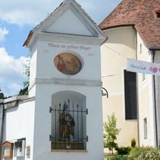
Maria am grünen Anger, Anger
3.5 km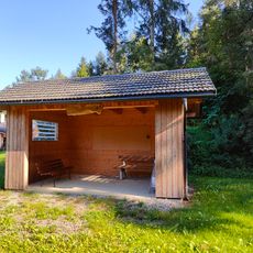
Haltestelle Peesen
2.7 km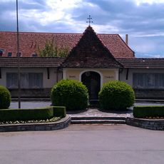
Kriegerdenkmal
3.5 km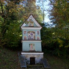
Bildstock
3.5 km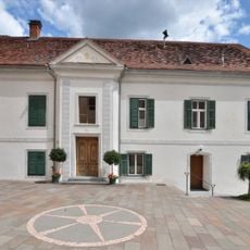
Pfarrhof Anger, Styria
3.5 km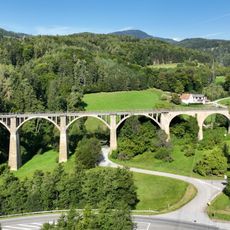
Grubviadukt
2.2 km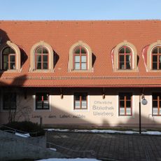
Öffentliche Bibliothek Weizberg
3.5 km
Dorfkreuz Hart, Viertelfeistritz
2.7 km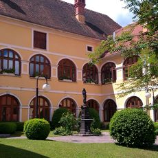
Dechanthof mit ehem. Wirtschaftsgebäuden und Brunnen
3.5 km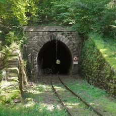
Hart-Puch-Tunnel
2.8 km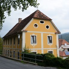
Birkfelder Straße 6, Anger
3.5 km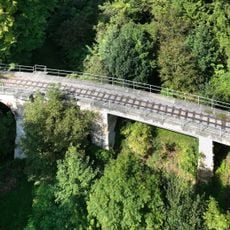
Parzbach-Viadukt
2.3 km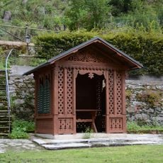
Gartenhaus
3.3 km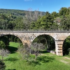
Bachlbach-Viadukt
2.1 km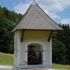
Gschnaidter Kreuz
1.8 km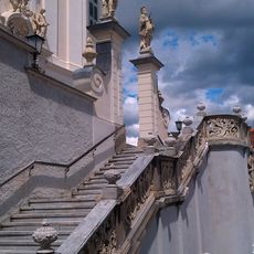
Treppenanlagen mit integr. Figurenbildstöcken
3.5 km
Nöstlbach-Viadukt
2.7 kmReviews
Visited this place? Tap the stars to rate it and share your experience / photos with the community! Try now! You can cancel it anytime.
Discover hidden gems everywhere you go!
From secret cafés to breathtaking viewpoints, skip the crowded tourist spots and find places that match your style. Our app makes it easy with voice search, smart filtering, route optimization, and insider tips from travelers worldwide. Download now for the complete mobile experience.

A unique approach to discovering new places❞
— Le Figaro
All the places worth exploring❞
— France Info
A tailor-made excursion in just a few clicks❞
— 20 Minutes