
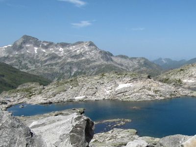
Keeskogel, mountain in the Ankogel Group at the border Carinthia / Salzburg
Location: Malta
Location: Bad Gastein
Location: Hüttschlag
Elevation above the sea: 2,886 m
GPS coordinates: 47.09518,13.27730
Latest update: April 10, 2025 09:49
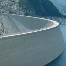
Kölnbrein Dam
5 km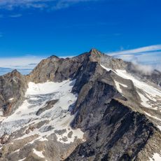
Hochalmspitze
9.5 km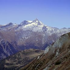
Ankogel
5.4 km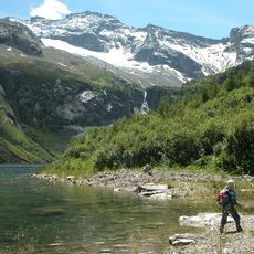
Grosser Hafner
9.8 km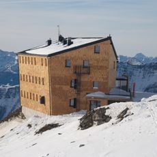
Hannoverhaus
7.4 km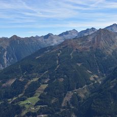
Graukogel
8 km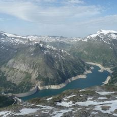
Kölnbrein Reservoir
3.8 km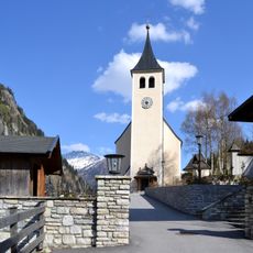
Saint Joseph Church (Hüttschlag)
9.5 km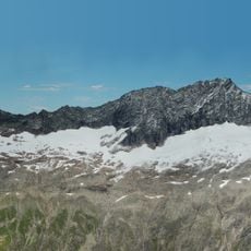
Tischlerspitze
3.9 km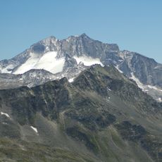
Großelendkopf
9 km
Kölnbreinspitze
7.8 km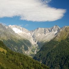
Schneewinkelspitze
10.4 km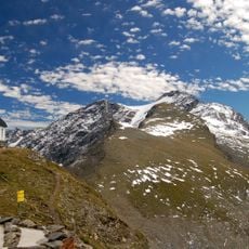
Karl-Arnold-Mausoleum
7.4 km
Prossau
4.9 km
Talmuseum Hüttschlag
5.9 km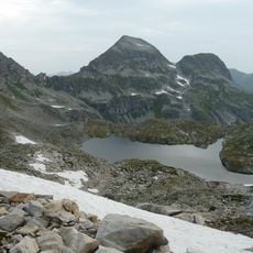
Oberer Schwarzsee
5.9 km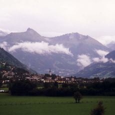
Feuersang
9.1 km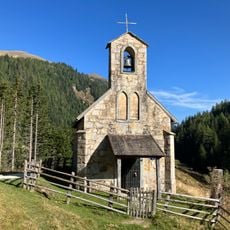
Muritzenkapelle, Muhr
10.1 km
Unterer Rotgüldensee
10 km
Grosselendkees
8.2 km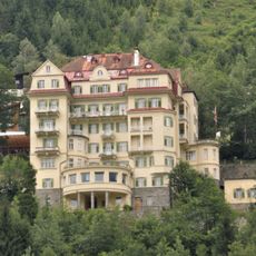
Ehem. Josef Matejcek-Heim/Hotel Astoria
10.6 km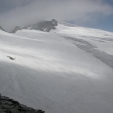
Kleinelendkees
3.8 km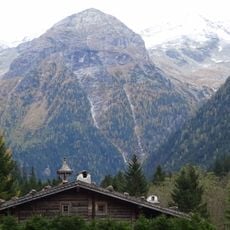
Böcksteinkogel
3.5 km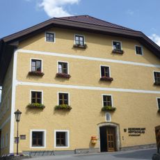
Rathaus/Gemeindeamt
9.6 km
Pfarrhof
9.5 km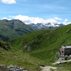
Nebelkareck
7 km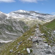
Steinbachkogel
2.2 km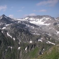
Kälberspitzkees
7.3 kmVisited this place? Tap the stars to rate it and share your experience / photos with the community! Try now! You can cancel it anytime.
Discover hidden gems everywhere you go!
From secret cafés to breathtaking viewpoints, skip the crowded tourist spots and find places that match your style. Our app makes it easy with voice search, smart filtering, route optimization, and insider tips from travelers worldwide. Download now for the complete mobile experience.

A unique approach to discovering new places❞
— Le Figaro
All the places worth exploring❞
— France Info
A tailor-made excursion in just a few clicks❞
— 20 Minutes