
Eggerbügl, mountain in the Gurktal Alps in Styria
Location: Sankt Lambrecht
Elevation above the sea: 1,208 m
GPS coordinates: 47.12416,14.26248
Latest update: June 23, 2025 18:40
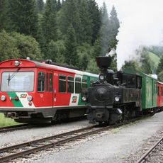
Murtalbahn
5.3 km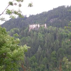
Ruine Katsch
3 km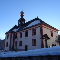
Filialkirche hl. Blasius, Sankt Blasen
4.5 km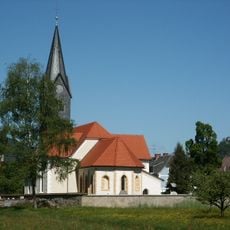
Pfarrkirche Frojach
3.6 km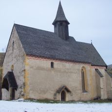
Filialkirche hl. Laurentius, Katsch
3.6 km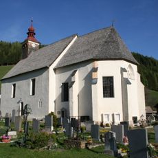
Filialkirche hl. Laurentius, Heiligenstadt, St. Lambrecht
5.8 km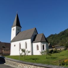
Pfarrfahne St. Peter am Kammersberg
4.8 km
Saurau Maria Dorn
1.5 km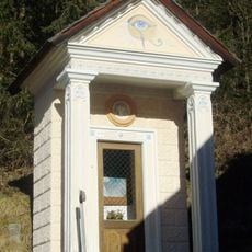
Kapellenbildstock, Bergerkreuz
5.8 km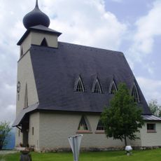
Messkapelle zum Hl. Erlöser, Stolzalpe
5.6 km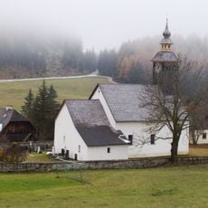
Filialkirche hl. Martin, Karchau
1.3 km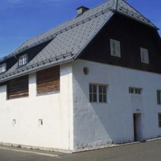
Farmhouse Hillberger, Stolzalpe
5.6 km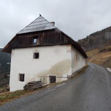
Bauernhaus Schleifer
4.5 km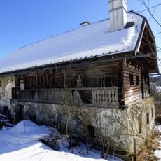
Vulgo Taferner, St. Blasen
5.6 km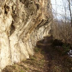
Roemerweg Frojach-Katsch
4.5 km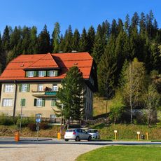
Sogen. Ärztevilla
5.3 km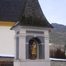
Bildstock
1.5 km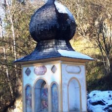
Bildstock, sogen. Pestsäule
5.2 km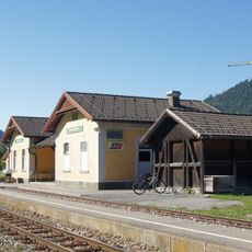
Bahnhof Frojach
3.4 km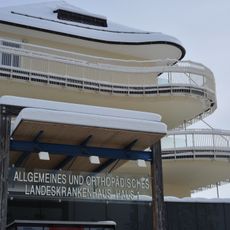
Spital Haus 1, Stolzalpe
5.7 km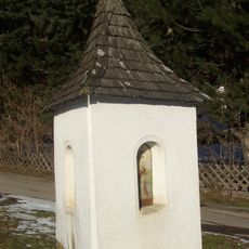
Pestsäule
2 km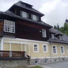
Krankenpflegeschule, Stolzalpe
5.6 km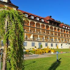
Spital Haus 2, Stolzalpe
5.2 km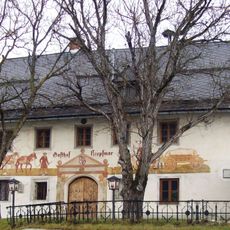
Kropfmoarhaus
2.9 km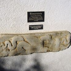
Römerstein am Gemeindeamt
1.8 km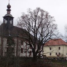
Former school, Sankt Blasen
4.5 km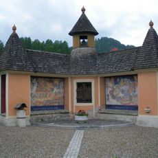
Kriegerdenkmal
2.5 km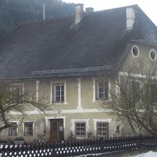
Ehem. Pfarrhof
3.6 kmReviews
Visited this place? Tap the stars to rate it and share your experience / photos with the community! Try now! You can cancel it anytime.
Discover hidden gems everywhere you go!
From secret cafés to breathtaking viewpoints, skip the crowded tourist spots and find places that match your style. Our app makes it easy with voice search, smart filtering, route optimization, and insider tips from travelers worldwide. Download now for the complete mobile experience.

A unique approach to discovering new places❞
— Le Figaro
All the places worth exploring❞
— France Info
A tailor-made excursion in just a few clicks❞
— 20 Minutes