
Landjägermeisteramt, cadastral municipality of Vienna
Location: Vienna
Elevation above the sea: 155 m
Shares border with: Aspern, Kaiserebersdorf Herrschaft, Leopoldstadt
GPS coordinates: 48.18670,16.48840
Latest update: March 12, 2025 01:42
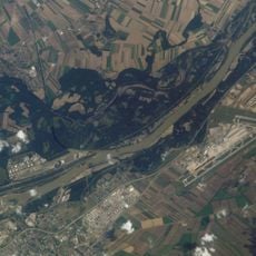
Lobau
2.1 km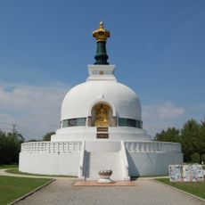
Vienna Peace Pagoda
2.5 km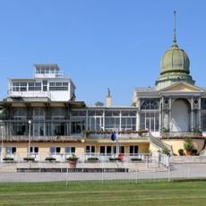
Rennbahn-Freudenau
2.9 km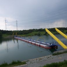
Waluliso Bridge
1.2 km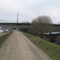
Freudenauer Hafenbrücke
1.8 km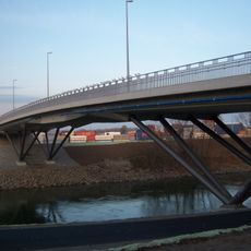
Seitenhafenbrücke
2.1 km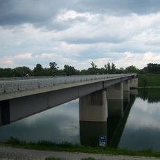
Steinsporn Bridge
2 km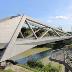
Winterhafenbrücke
1.8 km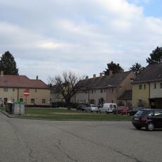
Wulzendorf
3 km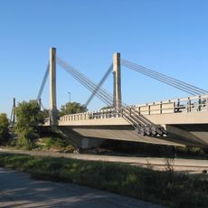
Schrägseilbrücke, Vienna
2.9 km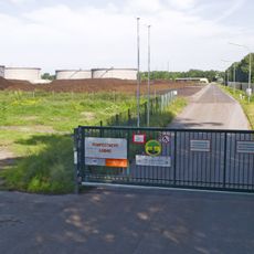
Kompostwerk Lobau
1.3 km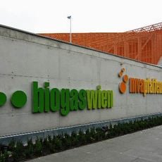
Biogas Wien
2.3 km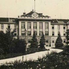
Kaiserebersdorfer Landwehr-Artilleriekaserne
2.8 km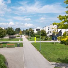
Lumbyepark
2.8 km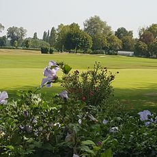
Golfclub Wien
3 km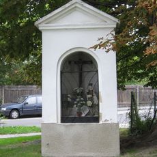
Wegkapelle
3.1 km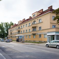
Wohnhausanlage der Gemeinde Wien Landwehrstraße 3
2.4 km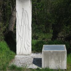
Denkmal für Zwangsarbeiter Lobau
1.1 km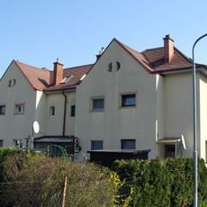
Siedlung Am Müllnermais
3 km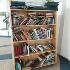
Public bookcase Nationalparkhaus Lobau
1.7 km
Lobaumuseum
1.7 km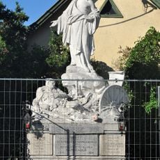
Kriegerdenkmal
3 km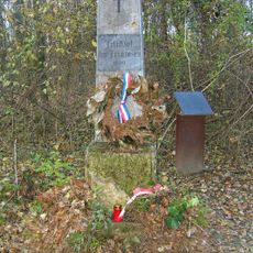
Gedenkstein Franzosenfriedhof
3 km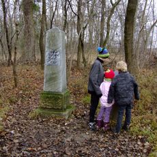
Gedenkstein Napoleonstraße
1.2 km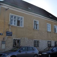
Ansitz, Wohnhaus, ehemals kaiserliches Jagdhaus
3 km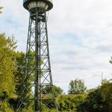
Wasserturm Freudenau
3.1 km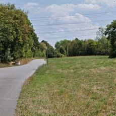
LSG Donaustadt, Teil D, Donauinsel Süd
1.5 km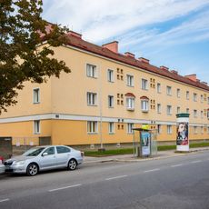
Wohnhausanlage der Gemeinde Wien Landwehrstraße 5
2.3 kmReviews
Visited this place? Tap the stars to rate it and share your experience / photos with the community! Try now! You can cancel it anytime.
Discover hidden gems everywhere you go!
From secret cafés to breathtaking viewpoints, skip the crowded tourist spots and find places that match your style. Our app makes it easy with voice search, smart filtering, route optimization, and insider tips from travelers worldwide. Download now for the complete mobile experience.

A unique approach to discovering new places❞
— Le Figaro
All the places worth exploring❞
— France Info
A tailor-made excursion in just a few clicks❞
— 20 Minutes