
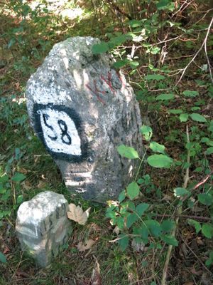
Boundary stones Innsbruck-Zirl, Denkmalgeschütztes Objekt in Innsbruck (100186)
Location: Innsbruck
Address: westlich Kranebitter Allee
GPS coordinates: 47.26532,11.30513
Latest update: March 3, 2025 13:39

Rauhenkopf
1.6 km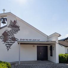
Kreuzkirche
1.1 km
Emmaus Church
2.3 km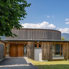
Pfarrzentrum Kranebitten
1.8 km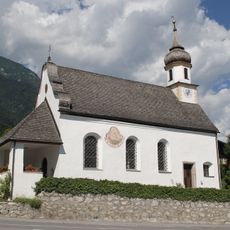
Filialkirche Mariä Heimsuchung, Kranebitten
1.8 km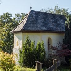
Kerschbuchhofkapelle
2.1 km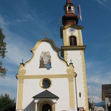
Völs, alte Pfarrkirche
2.3 km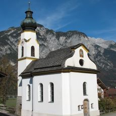
Kematen in Tirol, Afling, Filialkirche Maria Schnee
1.7 km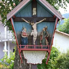
Kreuzgruppe Pestfriedhof Völs Tirol
2 km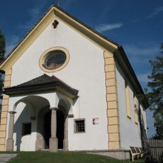
Völs, Wallfahrtskirche Heiliger Blasius
2.2 km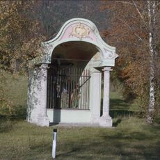
Wegkapelle Kranebitten
2.1 km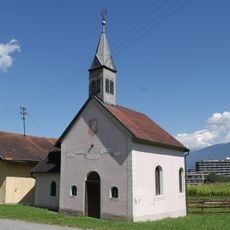
Harterhof-Kapelle
2.4 km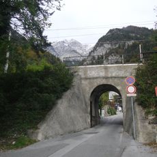
Mittenwaldbahn – Brücke Klammstraße
1.8 km
Kranebitter Innbrücke
1.6 km
Bahnhof Kranebitten
1.8 km
Mittenwaldbahn - Jaufentalbrücke
1.5 km
Mittenwaldbahn – Brücke Klammbach
1.8 km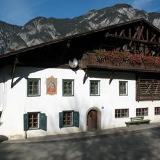
Bauernhaus
1.8 km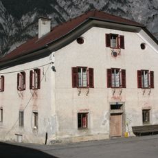
Bauernhaus Haider
1.6 km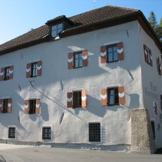
Gemeindeamt Völs
2.3 km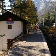
Station building Kranebitten
1.8 km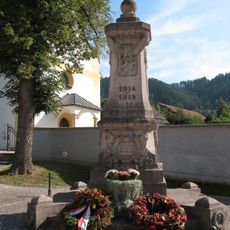
Kriegerdenkmal
2.3 km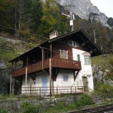
Martinswand station building
580 m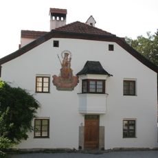
Wohnhaus, ehem. Widum
2.2 km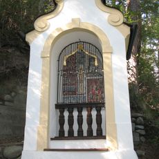
Völs 7 Bildstöcke
2.2 km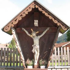
Wegkreuz
2.3 km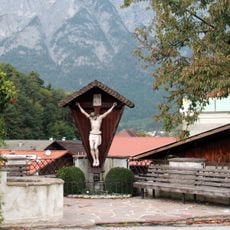
Kreuz, Dorfstraße .55, Völs
2.4 km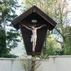
Wegkreuz
2.2 kmReviews
Visited this place? Tap the stars to rate it and share your experience / photos with the community! Try now! You can cancel it anytime.
Discover hidden gems everywhere you go!
From secret cafés to breathtaking viewpoints, skip the crowded tourist spots and find places that match your style. Our app makes it easy with voice search, smart filtering, route optimization, and insider tips from travelers worldwide. Download now for the complete mobile experience.

A unique approach to discovering new places❞
— Le Figaro
All the places worth exploring❞
— France Info
A tailor-made excursion in just a few clicks❞
— 20 Minutes