
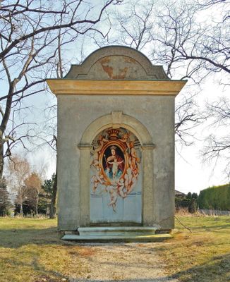
Wegkapelle Rotes Kreuz, building in Bad Deutsch-Altenburg, Austria
Location: Bad Deutsch-Altenburg
GPS coordinates: 48.12838,16.89758
Latest update: March 11, 2025 12:24
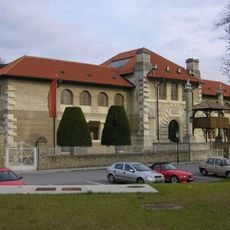
Museum Carnuntinum
1.4 km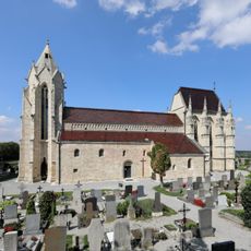
Wallfahrtskirche Mariae Himmelfahrt (Bad Deutsch-Altenburg)
1.3 km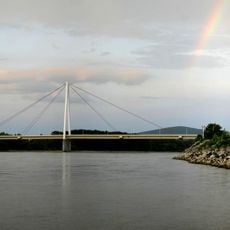
Andreas Maurer bridge
2.1 km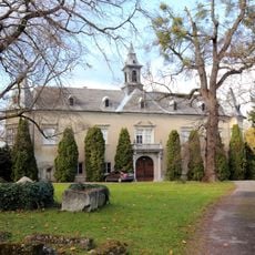
Schloss Deutsch-Altenburg
976 m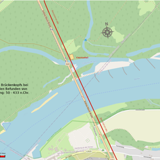
Kleinkastell Stopfenreuth
2.4 km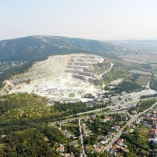
Pfaffenberg
1.9 km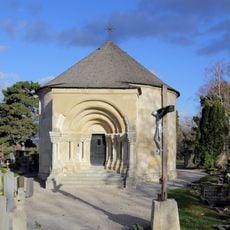
Karner Bad Deutsch-Altenburg
1.3 km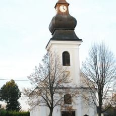
Pfarrkirche
2.6 km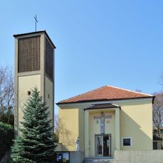
Kapelle hl. Elisabeth von Thüringen, Bad Deutsch-Altenburg
929 m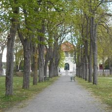
Kurpark Bad Deutsch Altenburg
1.3 km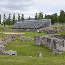
Carnuntum military amphitheatre
410 m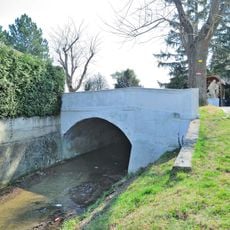
Straßenbrücke Deutsch-Altenburg
958 m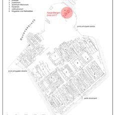
Legionslager Carnuntum, Praetentura
739 m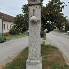
Pranger/ Pfeiler mit Kugel und Schließeisen
2.4 km
Hügelgrab Hütelberg
1.3 km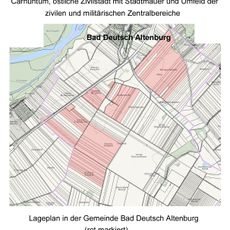
Carnuntum, östliche Zivilstadt mit Stadtmauer und Umfeld der zivilen und militärischen Zentralbereiche
1.6 km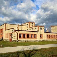
Wasserbau/Schifffahrt, Werkstättengebäude der Hafenanlage Bad Deutsch Altenburg
1.6 km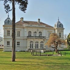
Hollitzer-Villa
827 m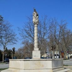
Mariensäule Altenburger Madonna
994 m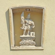
Figur hl. Florian
961 m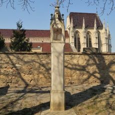
Bildstock
1.3 km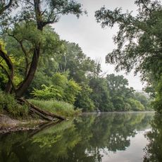
Stopfenreuther Au
2.1 km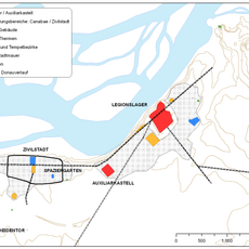
Archäologie, Canabae legionis
94 m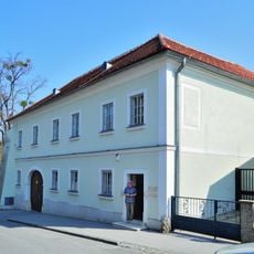
Pfarrhof
903 m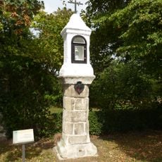
Bildstock
2.6 km
Sonstige Kleindenkmale
1.3 km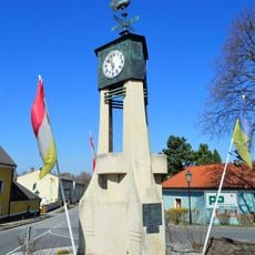
Uhrentürmchen
939 m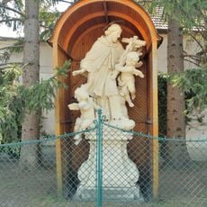
Figur hl. Johannes von Nepomuk
942 mReviews
Visited this place? Tap the stars to rate it and share your experience / photos with the community! Try now! You can cancel it anytime.
Discover hidden gems everywhere you go!
From secret cafés to breathtaking viewpoints, skip the crowded tourist spots and find places that match your style. Our app makes it easy with voice search, smart filtering, route optimization, and insider tips from travelers worldwide. Download now for the complete mobile experience.

A unique approach to discovering new places❞
— Le Figaro
All the places worth exploring❞
— France Info
A tailor-made excursion in just a few clicks❞
— 20 Minutes