
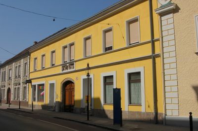
Wiener Straße 41, building in Wiener Neustadt, Austria
Location: Wiener Neustadt
Address: Wiener Straße 41
GPS coordinates: 47.81737,16.24492
Latest update: March 3, 2025 08:59
St. Peter an der Sperr
180 m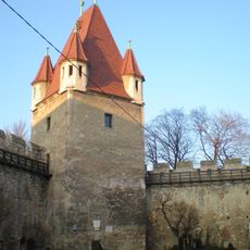
Reckturm
309 m
St. Leopold
178 m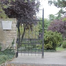
Bürgermeistergarten
212 m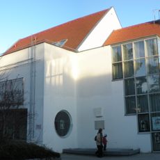
Stadtmuseum Wiener Neustadt
186 m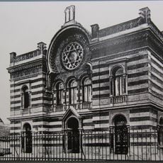
Synagoge Wiener Neustadt
120 m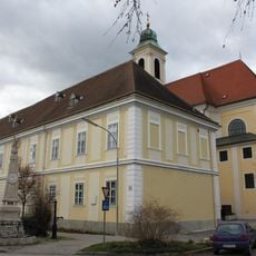
Stadtarchiv Wiener Neustadt
192 m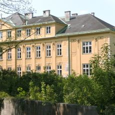
Schule Santa Christiana Wiener Neustadt
249 m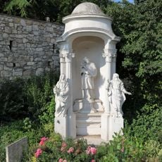
Johannes-Nepomuk-Kapelle
217 m
Dompropstei Wiener Neustadt
295 m
St. Peter an der Sperr
185 m
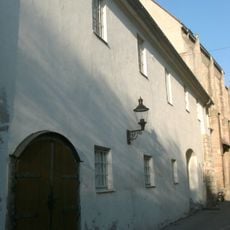
Wiener Straße 64
58 m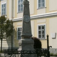
Kaiserbrunnen
209 m
Bürgerhaus
222 m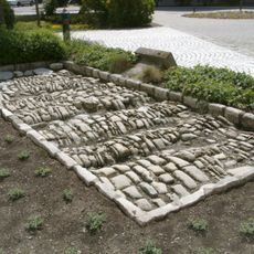
Römerstraße
163 m
Mauern mit Grabplatten, Wiener Neustadt
239 m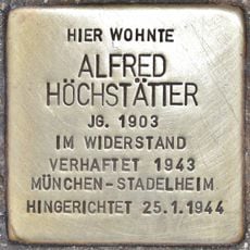
Stolperstein dedicated to Alfred Höchstätter
100 m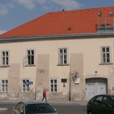
Schule, Lilienfelderhof
238 m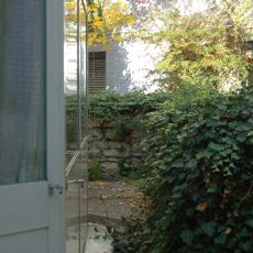
Deutschherrenturm und Mauerteil
263 m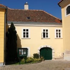
Bürgerhaus, Ehemaliges Benefiziatenhaus
172 m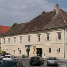
Dompropstei
249 m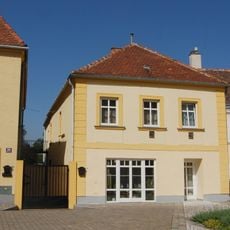
Bürgerhaus
162 m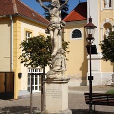
Kruzifix/Kreuz
150 m
Gasthaus, Zum goldenen Strauß
196 m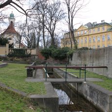
Waschschwemmplatz
290 m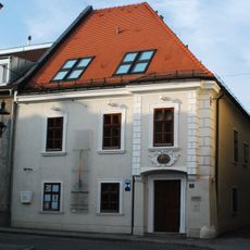
Bürgerhaus, Domherrenhaus
296 m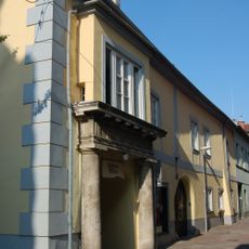
Bürgerhaus
171 m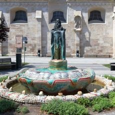
Mosesbrunnen
316 mReviews
Visited this place? Tap the stars to rate it and share your experience / photos with the community! Try now! You can cancel it anytime.
Discover hidden gems everywhere you go!
From secret cafés to breathtaking viewpoints, skip the crowded tourist spots and find places that match your style. Our app makes it easy with voice search, smart filtering, route optimization, and insider tips from travelers worldwide. Download now for the complete mobile experience.

A unique approach to discovering new places❞
— Le Figaro
All the places worth exploring❞
— France Info
A tailor-made excursion in just a few clicks❞
— 20 Minutes