
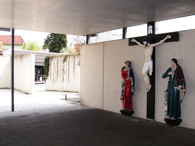
Kreuzigungsgruppe, Denkmalgeschütztes Objekt in Gleisdorf (109630)
Location: Gleisdorf
Address: Friedhofweg
GPS coordinates: 47.10628,15.70727
Latest update: April 20, 2025 15:48
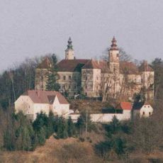
Schloss Freiberg
3.1 km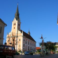
Stadtpfarrkirche Gleisdorf
236 m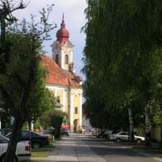
Mariä Reinigung, Gleisdorf
329 m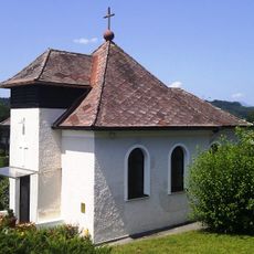
Christuskirche Gleisdorf
258 m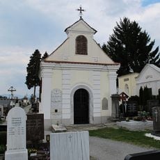
Friedhof mit Friedhofskapelle
92 m
Lanzlkapelle
4.3 km
Ortskapelle Urscha
2 km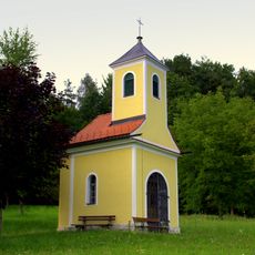
Rupertikapelle, Postelgraben
3.8 km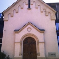
Ehem. Dominikanerinnenkloster, ehem. Marienkapelle
411 m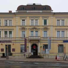
Bankgebäude, Sparkasse
305 m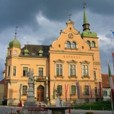
Rathaus/Gemeindeamt
370 m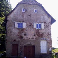
Kellerstöckl, Ludersdorf
2.9 km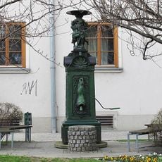
Brunnen
313 m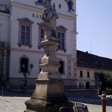
Figurenbildstock hl. Florian
354 m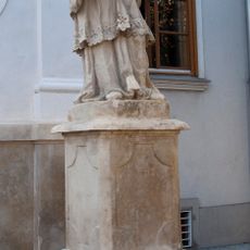
Figurenbildstock hl. Johannes Nepomuk
313 m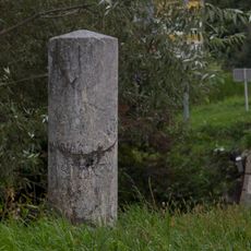
Meilenstein
688 m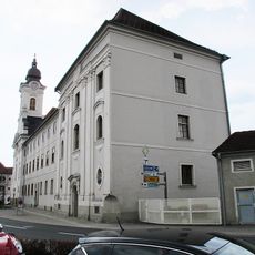
Gericht, ehem. Piaristenkloster
313 m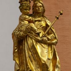
Mariensäule/Türkensäule und 4 Figurenbildstöcke
220 m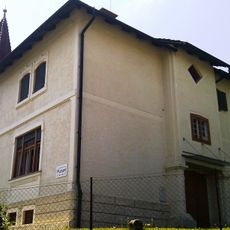
Evang. Pfarramt, sog. Villa Sullivan
312 m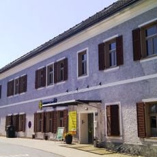
Ehem. Dominikanerinnenkloster, ehem. Treffenschädelsches Haus
390 m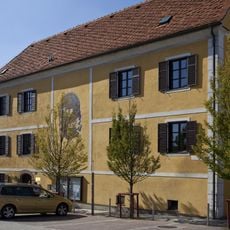
Pfarrhof
196 m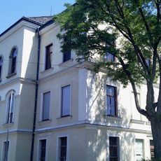
Ehem. Dominikanerinnenkloster, ehem. Internat
411 m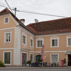
Ehem. Bäckerhaus
143 m
Wohn- und Geschäftshaus
495 m
Schule
363 m
Sog. Josefshaus
372 m
Wohnhaus
340 m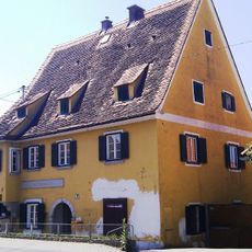
Bürgerhaus
597 mVisited this place? Tap the stars to rate it and share your experience / photos with the community! Try now! You can cancel it anytime.
Discover hidden gems everywhere you go!
From secret cafés to breathtaking viewpoints, skip the crowded tourist spots and find places that match your style. Our app makes it easy with voice search, smart filtering, route optimization, and insider tips from travelers worldwide. Download now for the complete mobile experience.

A unique approach to discovering new places❞
— Le Figaro
All the places worth exploring❞
— France Info
A tailor-made excursion in just a few clicks❞
— 20 Minutes