
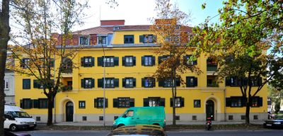
Wohnhausanlage, building in Klagenfurt, Austria
Location: Klagenfurt
Address: St. Ruprechter Straße 66, 68
GPS coordinates: 46.61028,14.30968
Latest update: March 16, 2025 19:21

LMK
1.2 km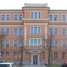
HTL1 Lastenstrasse
1.2 km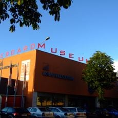
Eboardmuseum
781 m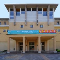
Konzerthaus Klagenfurt
1.3 km
Jewish cemetery in Klagenfurt
297 m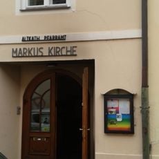
Markuskirche, Klagenfurt
1.3 km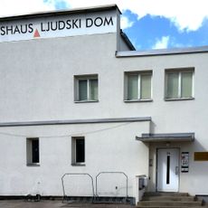
Volxhaus
846 m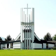
Don Bosco Kirche Klagenfurt
842 m
Landesmuseum für Kärnten
1.2 km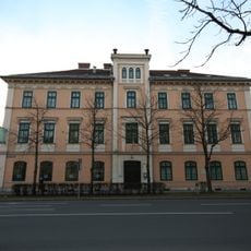
Musilhaus
741 m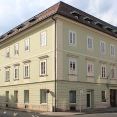
Klagenfurt, 10.-Oktober-Straße 24
1.3 km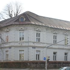
Klagenfurt, Viktringer Ring 15
1.1 km
Station building of Klagenfurt Hauptbahnhof
710 m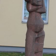
Klagenfurt, Plastik "Mutter mit Kind"
981 m
Wirtschaftskammer Kärnten building, Klagenfurt
855 m
Arnold Riese-Hof, Sankt Ruprecht, Klagenfurt
75 m
Klagenfurt, Völkermarkter Ring 31
1.2 km
Klagenfurt, Fromillerstraße 20a
873 m
Klagenfurt, Bahnhofstraße 53
951 m
Landesregierungsgebaeude in Klagenfurt
1.2 km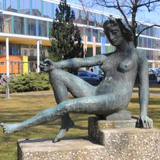
Herbert Boeckl - Atlantis
1.2 km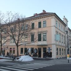
Robert-Musil-Literatur-Museum
737 m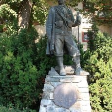
Gebirgsschützendenkmal
1 km
Lehrerbildungsanstalt Klagenfurt
1 km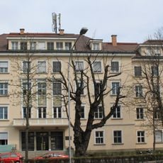
Klagenfurt, Völkermarkter Ring 29
1.3 km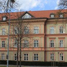
Klagenfurt, Viktringer Ring 30
1.2 km
Landwirtschaftskammer in Klagenfurt
1.2 km
Klagenfurt, Mießtaler Straße 6
1.3 kmReviews
Visited this place? Tap the stars to rate it and share your experience / photos with the community! Try now! You can cancel it anytime.
Discover hidden gems everywhere you go!
From secret cafés to breathtaking viewpoints, skip the crowded tourist spots and find places that match your style. Our app makes it easy with voice search, smart filtering, route optimization, and insider tips from travelers worldwide. Download now for the complete mobile experience.

A unique approach to discovering new places❞
— Le Figaro
All the places worth exploring❞
— France Info
A tailor-made excursion in just a few clicks❞
— 20 Minutes