
Befestigte Siedlung Mühlfeldbreiten, Denkmalgeschütztes Objekt in Lengenfeld (130291)
Location: Lengenfeld
Address: Mühlfeldbreiten
GPS coordinates: 48.47619,15.61434
Latest update: November 13, 2025 05:16
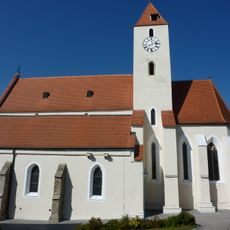
Pfarrkirche Lengenfeld, Lower Austria
1.3 km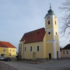
Kath. Pfarrkirche St. Wolfgang, Mittelberg
2.5 km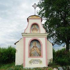
Flur-/Wegkapelle
2.5 km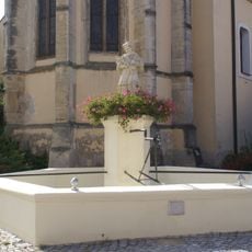
Nepomukbrunnen Mittelberg
2.5 km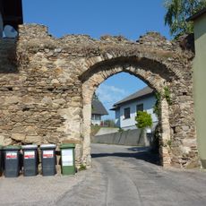
Stadttor, Biri-Tor
1.6 km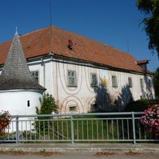
Lengenfeld Neues Schloss
972 m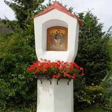
Bildstock
2.5 km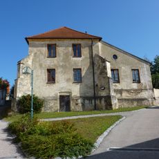
Schule, ehem. Karner
1.3 km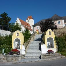
Stiegenaufgang zum ehem. Wehrkirchhof
1.3 km
Statue of St. John of Nepomuk
995 m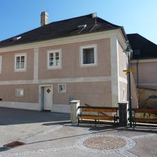
Pfarrhof
1.3 km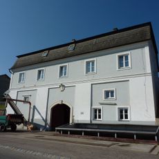
Presshaus, sog. Kellerhaus
817 m
Pfarrhof
2.5 km
Hl. Donatus
1.8 km
Whipping post, pillory
1.6 km
Wayside shrine
2.1 km
Wayside shrine
1 km
Wayside shrine
1.4 km
Wayside shrine
1.8 km
Wayside shrine
1.4 km
Baumpresse
1.3 km
Statue, memorial
994 m
Wayside shrine
1 km
War memorial, memorial
1.2 km
Wayside shrine, Christianity
2.1 km
Wayside shrine, Christianity
562 m
Memorial cross, memorial
2.4 km
Memorial cross, memorial
2.4 kmReviews
Visited this place? Tap the stars to rate it and share your experience / photos with the community! Try now! You can cancel it anytime.
Discover hidden gems everywhere you go!
From secret cafés to breathtaking viewpoints, skip the crowded tourist spots and find places that match your style. Our app makes it easy with voice search, smart filtering, route optimization, and insider tips from travelers worldwide. Download now for the complete mobile experience.

A unique approach to discovering new places❞
— Le Figaro
All the places worth exploring❞
— France Info
A tailor-made excursion in just a few clicks❞
— 20 Minutes