
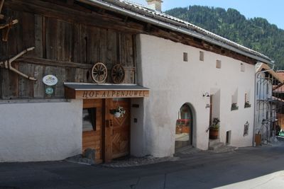
Bauernhaus 133, Nauders, human settlement in Austria
Location: Nauders
Address: Nauders 133
GPS coordinates: 46.89339,10.50502
Latest update: March 5, 2025 06:27
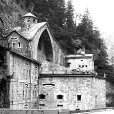
Festung Nauders
2.4 km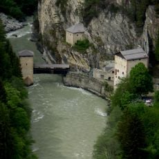
Altfinstermünz
4.2 km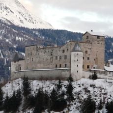
Schloss Naudersberg
720 m
Schwarzsee
3.3 km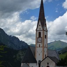
Pfarrkirche Nauders
93 m
Serviezel Castle
4.1 km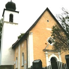
Reformierte Kirche Martina GR
3.8 km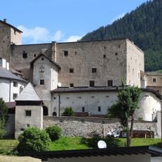
Naudersberg
729 m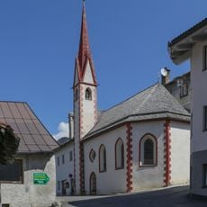
Ehemalige Spitalkirche Hl. Geist, Nauders
291 m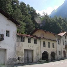
Hotel Hochfinstermünz
4.3 km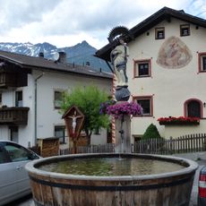
Immaculata-Brunnen bei der Pfarrkirche, Nauders
125 m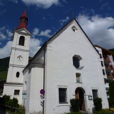
Mariahilferkirche, Nauders
302 m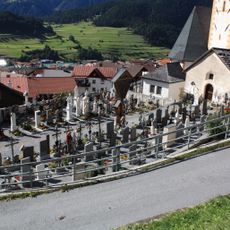
Friedhof Nauders
111 m
Immaculata-Brunnen bei der Mariahilferkirche, Nauders
305 m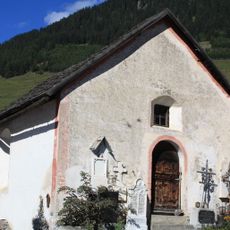
Friedhofskapelle
135 m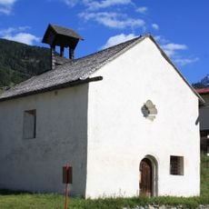
Kapelle hl. Leonhard
759 m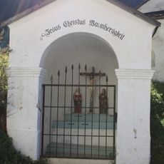
Wegkapelle bei Burg Naudersberg, Schlosskapelle
760 m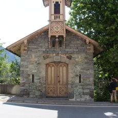
Kapelle hl. Karl Borromäus, Nauders
4.3 km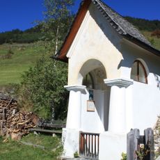
Wegkapelle hl. Notburga
163 m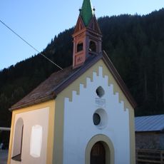
Mühlenkapelle/Kapelle zur schmerzhaften Maria
714 m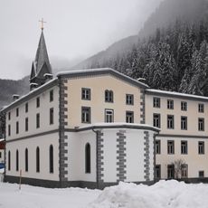
Katholische Kirche Martina GR
3.4 km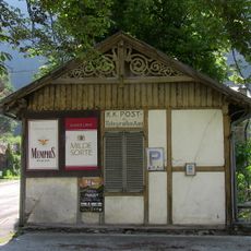
Ehemaliges Postamt Hochfinstermünz
4.3 km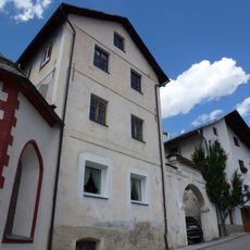
Ehemaliges Spital, Nauders
280 m
Befestigungsanlage, Talsperre Finstermünz
4.2 km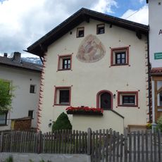
Frühmeß-Widum
120 m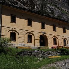
Festung Finstermünz, Wohnhaus
2.4 km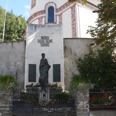
Kriegerdenkmal
99 m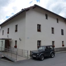
Widum Nauders
97 mReviews
Visited this place? Tap the stars to rate it and share your experience / photos with the community! Try now! You can cancel it anytime.
Discover hidden gems everywhere you go!
From secret cafés to breathtaking viewpoints, skip the crowded tourist spots and find places that match your style. Our app makes it easy with voice search, smart filtering, route optimization, and insider tips from travelers worldwide. Download now for the complete mobile experience.

A unique approach to discovering new places❞
— Le Figaro
All the places worth exploring❞
— France Info
A tailor-made excursion in just a few clicks❞
— 20 Minutes