
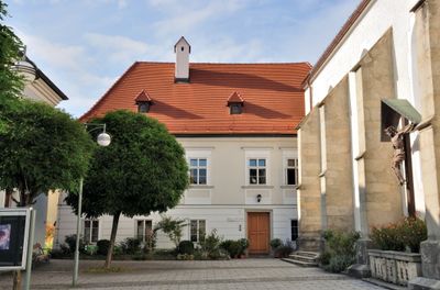
Bauernhof , Pfarrhof, human settlement in Austria
Location: Zwettl an der Rodl
Address: Marktplatz 1
GPS coordinates: 48.46652,14.27022
Latest update: April 1, 2025 21:40
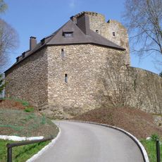
Burgruine Lobenstein, Oberneukirchen
3.4 km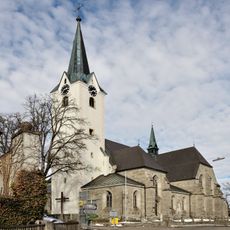
Oberneukirchen Parish Church
3.2 km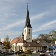
Pfarrkirche Mariä Himmelfahrt, Zwettl an der Rodl
45 m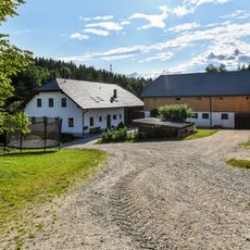
Handlmühle
3.2 km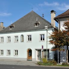
Bauernhof (Anlage)
142 m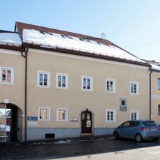
Wohn- und Geschäftshaus, Geburtshaus von Hans Schnopfhagen
3.1 km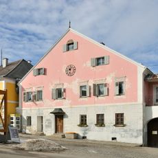
Altes Brauhaus
3.1 km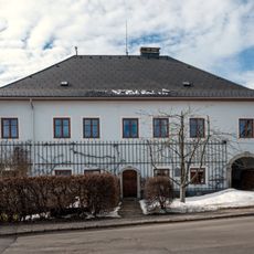
Pfarrhof
3.3 km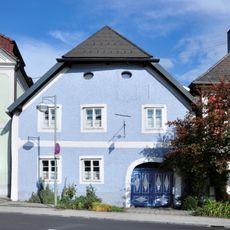
Ehem. Bäckerhaus bzw. Oberneder-Wirtshaus
94 m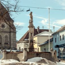
Georgsbrunnen
3.2 km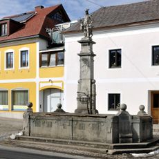
Hubertusbrunnen
3 km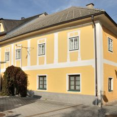
Ackerbürgerhaus, ehem. Gasthaus Schwarzes Rössl
125 m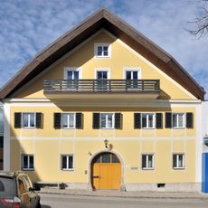
Schülerinnenheim St. Clara
3.2 km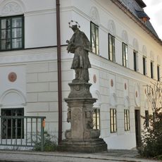
Figurenbildstock hl. Johannes Nepomuk
140 m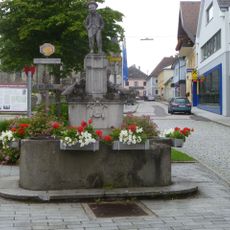
Mühlviertler Büabl-Brunnen
3.1 km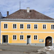
Wohn- und Geschäftshaus
3.2 km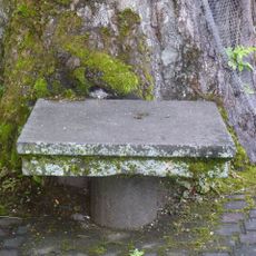
Steintisch
3.1 km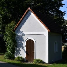
Kapelle Elmegg
3.8 km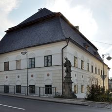
Bürgerhaus, Färberhaus
147 m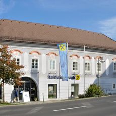
Ackerbürgerhaus
144 m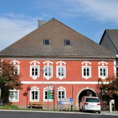
Ackerbürgerhaus
104 m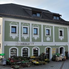
Ackerbürgerhaus
126 m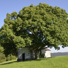
Kapellenlinde bei Zwettl an der Rodl
1.2 km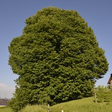
Linde in Oberneukirchen
3 km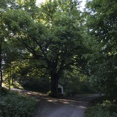
Linde in Schauerschlag
435 m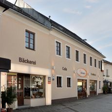
Bürgerhaus, Ratsherrenhaus
87 m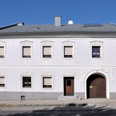
Bürgerhaus
4.4 km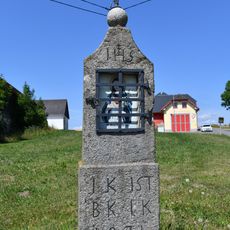
Bildstock bei Dietrichschlag 19
3.3 kmReviews
Visited this place? Tap the stars to rate it and share your experience / photos with the community! Try now! You can cancel it anytime.
Discover hidden gems everywhere you go!
From secret cafés to breathtaking viewpoints, skip the crowded tourist spots and find places that match your style. Our app makes it easy with voice search, smart filtering, route optimization, and insider tips from travelers worldwide. Download now for the complete mobile experience.

A unique approach to discovering new places❞
— Le Figaro
All the places worth exploring❞
— France Info
A tailor-made excursion in just a few clicks❞
— 20 Minutes