
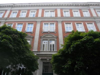
Volksschule der Stadt Wien, building in Mariahilf, Austria
Location: Mariahilf
Address: Mittelgasse 24
GPS coordinates: 48.19282,16.34015
Latest update: March 5, 2025 06:12
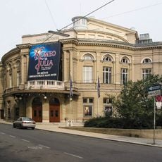
Raimund Theater
77 m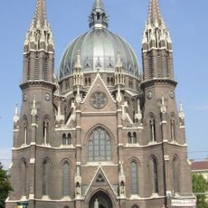
Church of Saint Mary of the Victory
180 m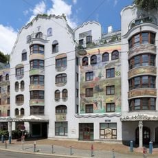
Arik-Brauer-Haus
240 m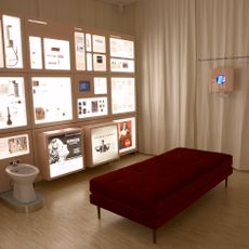
Museum of contraception and abortion
244 m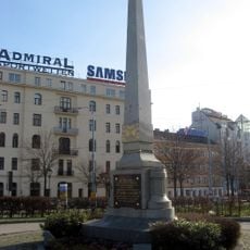
Obelisk Mariahilfer Gürtel
290 m
Rettungsstation Mariahilf
71 m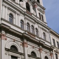
Kalasantinerkirche
300 m
Vinzenz-von-Paul-Park, Mariahilf
288 m
Wolkenspange Westbahnhof, Vienna
334 m
Gemeindebau Robert-Hamerling-Gasse 15
307 m
Gumpendorfer Straße 132, Vienna
247 m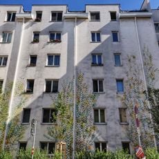
Gemeindebau Liniengasse 27
257 m
Maria vom Siege 2
197 m
Rectory of Maria vom Siege
215 m
Gemeindebau Millergasse 23
227 m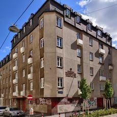
Gemeindebau Millergasse 39
257 m
Gemeindebau Clementinengasse 6
321 m
Ehem. Stadtbahn – Teilbereich der heutigen U6 in der KG Mariahilf
301 m
Kindergarten
272 m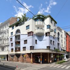
Gemeindebau Wallgasse 13
251 m
Kollegium der Kalasantiner
288 m
Wohnhaus
259 m
Gemeindebau Meravigliagasse 5-7
323 m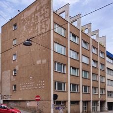
Gemeindebau Meravigliagasse 8
306 m
Gemeindebau Mittelgasse 1
319 m
Gemeindebau Garbergasse 5
295 m
Gemeindebau Bürgerspitalgasse 7
146 m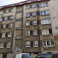
Gemeindebau Clementinengasse 3
333 mReviews
Visited this place? Tap the stars to rate it and share your experience / photos with the community! Try now! You can cancel it anytime.
Discover hidden gems everywhere you go!
From secret cafés to breathtaking viewpoints, skip the crowded tourist spots and find places that match your style. Our app makes it easy with voice search, smart filtering, route optimization, and insider tips from travelers worldwide. Download now for the complete mobile experience.

A unique approach to discovering new places❞
— Le Figaro
All the places worth exploring❞
— France Info
A tailor-made excursion in just a few clicks❞
— 20 Minutes