
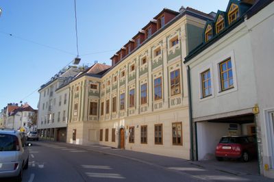
Ehem. Palais Seitzenburg, building in St. Pölten, Austria
Location: St. Pölten
Address: Lederergasse 8, 10
GPS coordinates: 48.20303,15.62839
Latest update: March 4, 2025 13:46
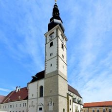
St. Pölten dome
245 m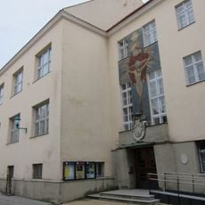
Alumnat St. Pölten
158 m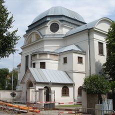
St. Pölten synagogue
61 m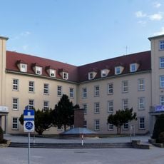
Dr.-Theodor-Körner-Hauptschule
284 m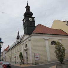
Bürgerspital mit Kapelle
197 m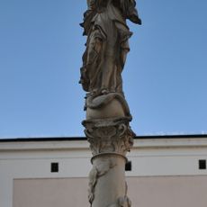
Mariensäule Herrenplatz
260 m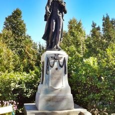
Friedrich-Schiller-Denkmal St. Pölten
226 m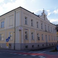
Dr. Karl Renner-Promenade 12
287 m
Sporavilla
213 m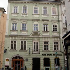
Alte Spora Apotheke
255 m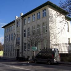
Federal academy for social work
248 m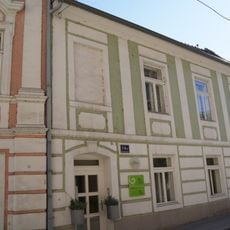
Fuhrmannsgasse 14 & 14a
158 m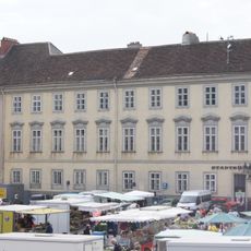
Palais Wallenstein
222 m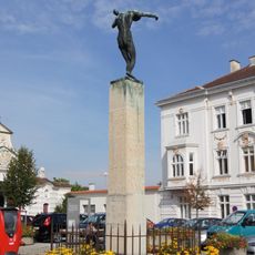
Kriegerdenkmal Hofstatt St. Pölten
288 m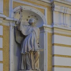
Herrenplatz 2
282 m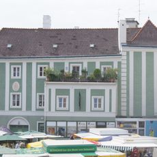
Gasthof Zu den drei Kronen
249 m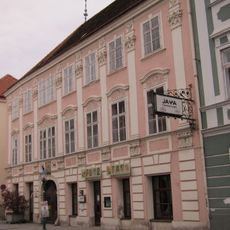
Wiener Straße 36
166 m
Wiener Straße 34
175 m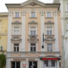
Gasthaus Schwarzer Adler
246 m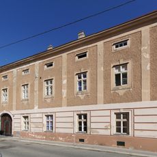
Lederergasse 5, St. Pölten
105 m
Palais Kriechbaum
193 m
Wohnhaus und Stadtbefestigung
152 m
Turm der Stadtbefestigung und Reste der Stadtmauer
66 m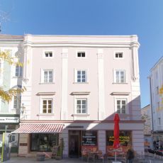
Wohnhaus
244 m
Wohn- und Geschäftshaus
67 m
Wiener Straße 31
208 m
Wohnhaus
84 m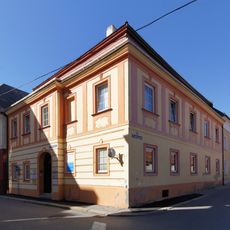
Bürgerhaus
88 mReviews
Visited this place? Tap the stars to rate it and share your experience / photos with the community! Try now! You can cancel it anytime.
Discover hidden gems everywhere you go!
From secret cafés to breathtaking viewpoints, skip the crowded tourist spots and find places that match your style. Our app makes it easy with voice search, smart filtering, route optimization, and insider tips from travelers worldwide. Download now for the complete mobile experience.

A unique approach to discovering new places❞
— Le Figaro
All the places worth exploring❞
— France Info
A tailor-made excursion in just a few clicks❞
— 20 Minutes