
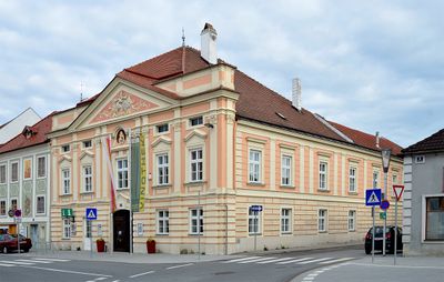
Ehem. Rathaus des Unteren Marktes, building in Herzogenburg, Austria
Location: Herzogenburg
Address: Rathausplatz 22
GPS coordinates: 48.28457,15.69526
Latest update: March 10, 2025 11:25
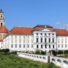
Herzogenburg Priory
272 m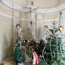
War memorial chapel and cemetery, Herzogenburg
403 m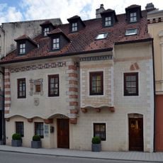
Bürgerhaus
126 m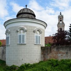
City wall Herzogenburg
328 m
Rathaus des Oberen Marktes, Herzogenburg
245 m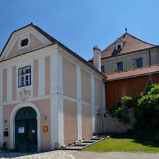
Kellerschlössel Wielandsthal
1.6 km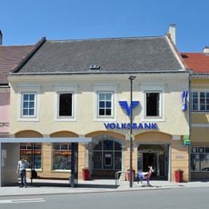
Bürgerhaus, Volksbank
80 m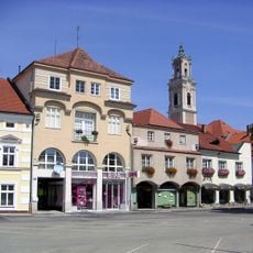
Rathausplatz 12, Herzogenburg
82 m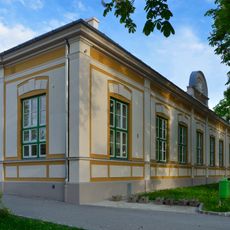
Turnhalle
265 m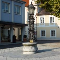
Brunnen
251 m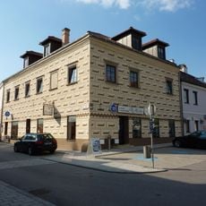
Ehem. Günther-Haus, ehem. Rathaus des Oberen Marktes
210 m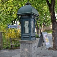
Wetterhäuschen
246 m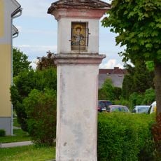
Wayside shrine Prandtauerring, Herzogenburg
559 m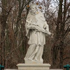
Figurenbildstock hl. Johannes Nepomuk
571 m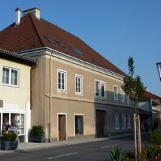
Bürgerhaus
286 m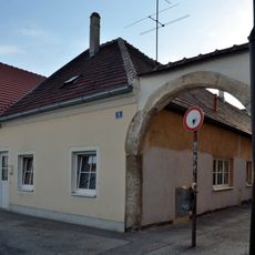
Wohnhaus
237 m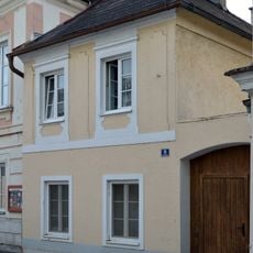
Wohnhaus
254 m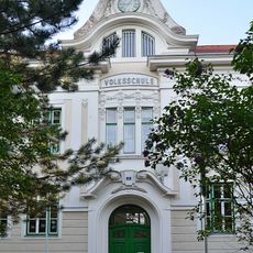
Volksschule Herzogenburg
301 m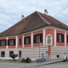
Bürgerhaus Wiener Straße 7, Herzogenburg
137 m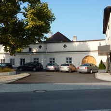
Altes Gsellshaus
267 m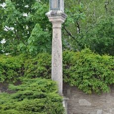
Pestsäule
303 m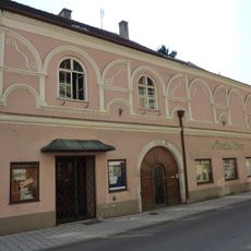
Bürgerhaus
186 m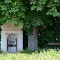
Tabernitius-Kreuz
1.6 km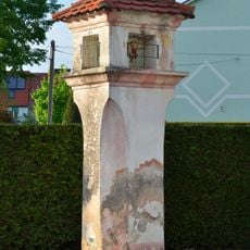
Bildstock
526 m
Bürgerhaus
14 m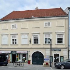
Bürgerhaus
96 m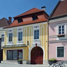
Bürgerhaus
57 m
Gasthaus „Altes Brauhaus“
42 mReviews
Visited this place? Tap the stars to rate it and share your experience / photos with the community! Try now! You can cancel it anytime.
Discover hidden gems everywhere you go!
From secret cafés to breathtaking viewpoints, skip the crowded tourist spots and find places that match your style. Our app makes it easy with voice search, smart filtering, route optimization, and insider tips from travelers worldwide. Download now for the complete mobile experience.

A unique approach to discovering new places❞
— Le Figaro
All the places worth exploring❞
— France Info
A tailor-made excursion in just a few clicks❞
— 20 Minutes