
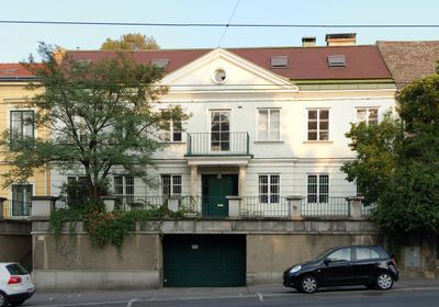
Billrothstraße 70, building in Döbling, Austria
Location: Döbling
Address: Billrothstraße 70
GPS coordinates: 48.24176,16.34904
Latest update: March 2, 2025 23:30

Zacherlfabrik
309 m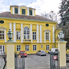
Maria-Theresien-Schlössel
319 m
Kloster der Schwestern vom armen Kinde Jesu
470 m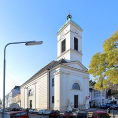
Döbling Parish Church
125 m
Rosa-Albach-Retty-Hof
236 m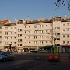
Josef-Wiedermann-Hof
353 m
Saarpark
423 m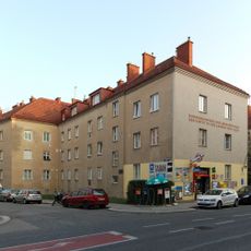
Wohnhausanlage Silbergasse 4
227 m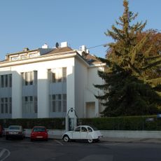
Villa Redlich
356 m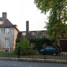
Haus Knips
421 m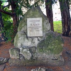
Ferdinand von Saar - Denkmal
455 m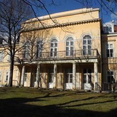
Bezirksamt, ehem. Villa und Privatheilanstalt
250 m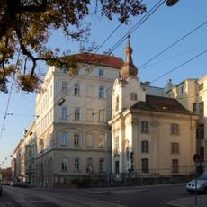
Johannes-Nepomuk-Kapelle
465 m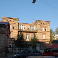
Betriebsgebäude Redlich und Berger
375 m
Anlage ehem. Haus Bunzl mit befestigten Außenflächen
323 m
Billrothstraße 68
19 m
Gatterburg-Denkmal
420 m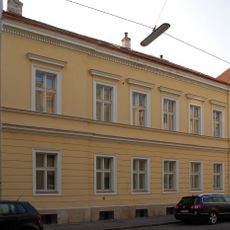
Pfarrhof Döblinger Pfarrkirche
103 m
Miethäuser Pyrkergasse 7
101 m
Kooperative Mittelschule Pyrkergasse
211 m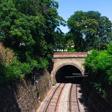
Eisenbahnstrecke, Wiener Vorortelinie – Teilbereich Oberdöbling
382 m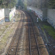
Eisenbahnstrecke, Wiener Vorortelinie – Teilbereich Unterdöbling
450 m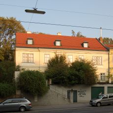
Billrothstraße 74
36 m
Gerda Lerner-Hof
467 m
Ehem. Mädchen-Waisenhaus der Israelitischen Kultusgemeinde
468 m
Wohnhausanlage Gatterburggasse 2c
330 m
Wohnhausanlage Ruthgasse 7-9
405 m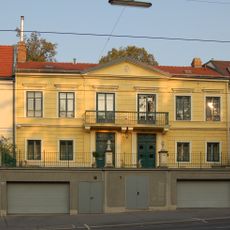
Billrothstraße 72 (Wien)
18 mReviews
Visited this place? Tap the stars to rate it and share your experience / photos with the community! Try now! You can cancel it anytime.
Discover hidden gems everywhere you go!
From secret cafés to breathtaking viewpoints, skip the crowded tourist spots and find places that match your style. Our app makes it easy with voice search, smart filtering, route optimization, and insider tips from travelers worldwide. Download now for the complete mobile experience.

A unique approach to discovering new places❞
— Le Figaro
All the places worth exploring❞
— France Info
A tailor-made excursion in just a few clicks❞
— 20 Minutes