
Ehem. dampfbetriebenes Elektrizitätswerk, Denkmalgeschütztes Objekt in Döbling (41961)
Location: Döbling
Address: Muthgasse 109
GPS coordinates: 48.25303,16.36940
Latest update: April 3, 2025 18:48

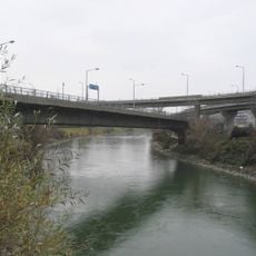
Nussdorfer Brücke
299 m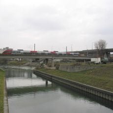
Vorortelinie-Donaukanalbrücke
268 m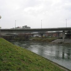
Knoten Nussdorf
295 m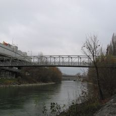
Nussdorfer Steg
259 m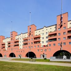
Karl Marx-Hof
327 m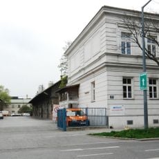
Slaughterhouse Nussdorf
243 m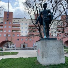
12.-Februar-Park
580 m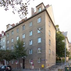
Wohnhausanlage Heiligenstädter Straße 129
603 m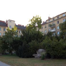
Wohnhausanlage Heiligenstädter Straße 141-145
412 m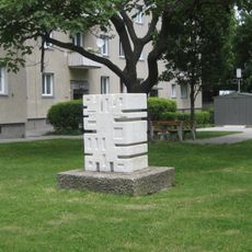
Figur
603 m
Hauptgebäude der ehem. Zigarettenpapierfabrik Samum
185 m
Greinergasse 23
621 m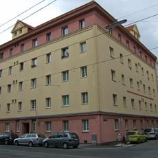
Kommunaler Wohnbau
414 m
Wohnhausanlage Boschstraße 20-22
337 m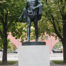
Sämann 1920 Otto Hofner Karl-Marx-Hof
579 m
Wohnhausanlage Sickenberggasse 11a
583 m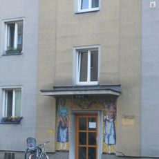
Mira-Lobe-Hof
243 m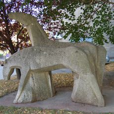
Kunst am Bau
449 m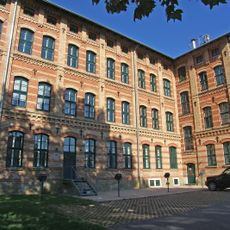
Ehem. Handschuhfabrik Zacharias
429 m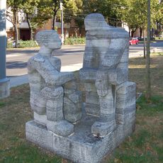
Plastik Sitzende
355 m
Wohnhausanlage Griegstraße 1–3
627 m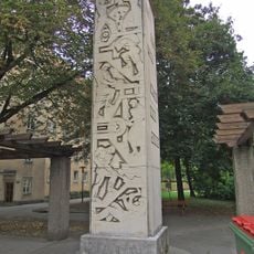
Kunst-am-Bau, Stele
407 m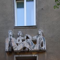
Hauszeichen, Relief
599 m
Wohnhausanlage Grinzinger Straße 123-131
503 m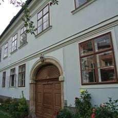
Bürgerhaus
604 m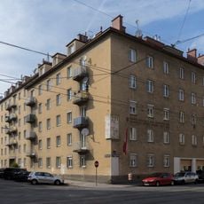
Wohnhausanlage Heiligenstädter Straße 165
448 m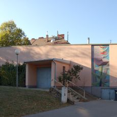
Volksheim Heiligenstädter Straße
389 m
Wohnhausanlage Heiligenstädter Straße 163
424 mReviews
Visited this place? Tap the stars to rate it and share your experience / photos with the community! Try now! You can cancel it anytime.
Discover hidden gems everywhere you go!
From secret cafés to breathtaking viewpoints, skip the crowded tourist spots and find places that match your style. Our app makes it easy with voice search, smart filtering, route optimization, and insider tips from travelers worldwide. Download now for the complete mobile experience.

A unique approach to discovering new places❞
— Le Figaro
All the places worth exploring❞
— France Info
A tailor-made excursion in just a few clicks❞
— 20 Minutes