
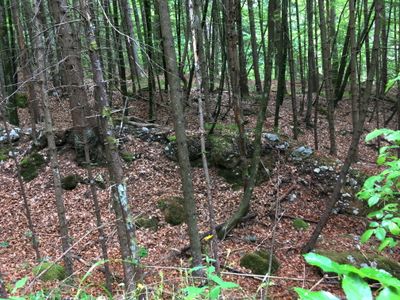
Befestigte Höhensiedlung Förker Laasriegel, human settlement in Austria
Location: Nötsch im Gailtal
Address: Laasriegel
GPS coordinates: 46.58951,13.64369
Latest update: March 5, 2025 07:57
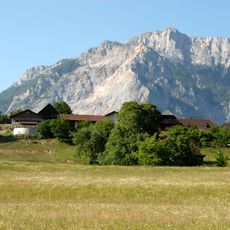
Dobratsch
2.6 km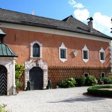
Wasserleonburg
1.2 km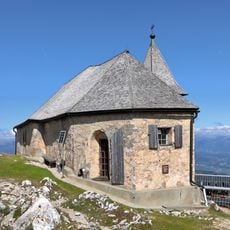
Deutsche Kapelle
2.6 km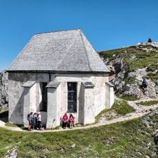
Windische Kapelle
2.6 km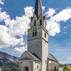
Pfarrkirche hl. Martin, Feistritz an der Gail
3.7 km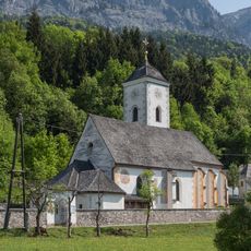
Pfarrkirche Heiliger Kanzian
1.3 km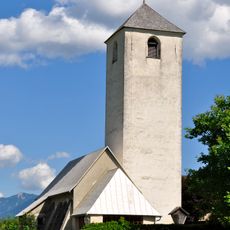
Filialkirche hl. Cyriacus, Hohenthurn
3.7 km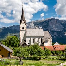
Pfarrkirche Mariä Namen, Göriach, Hohenthurn
3.7 km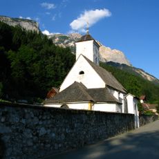
Friedhof um die Pfarrkirche hl. Kanzian
1.3 km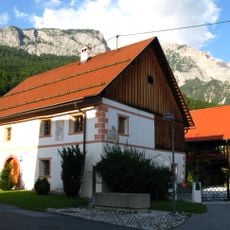
Saak 21
1.1 km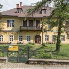
Museum des Nötscher Kreises
1.6 km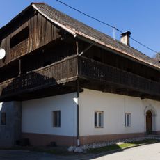
Bauernhaus Lessiakhube
1.1 km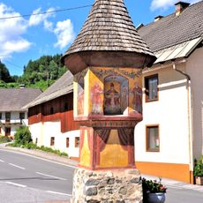
Bildstock in Dreulach
3.4 km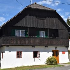
Bauernhaus, Binderkeusche, Pinteritsch
1.1 km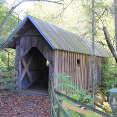
Achomitzerbrücke
3.7 km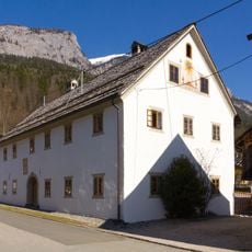
Bauernhof, Tschmelitschhube
1.1 km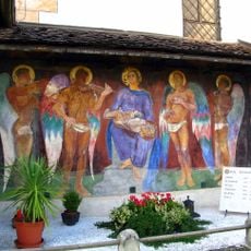
Grabstätte Michor
1.3 km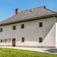
Pfarrhof Göriach, Hohenthurn
3.7 km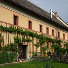
Farm building Wasserleonburg
1.2 km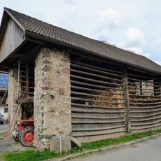
Doppelharpfe Pickerle
1.2 km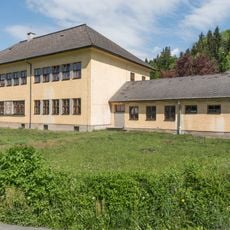
Volksschule Nötsch
1.4 km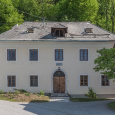
Pfarrhof Saak
1.2 km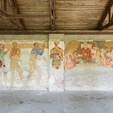
Probefresken Gasthof Michor
1.6 km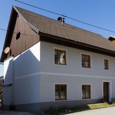
Bauernhaus, Kapitschhube
1.1 km
Achomitzerbrücke
3.9 km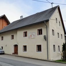
Saak 16
1.1 km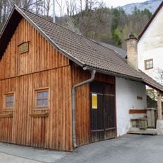
Schmiede Saak
1.1 km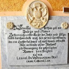
Kaiser-Franz-Leopold-Erbstollen mit Inschrifttafel
4.1 kmReviews
Visited this place? Tap the stars to rate it and share your experience / photos with the community! Try now! You can cancel it anytime.
Discover hidden gems everywhere you go!
From secret cafés to breathtaking viewpoints, skip the crowded tourist spots and find places that match your style. Our app makes it easy with voice search, smart filtering, route optimization, and insider tips from travelers worldwide. Download now for the complete mobile experience.

A unique approach to discovering new places❞
— Le Figaro
All the places worth exploring❞
— France Info
A tailor-made excursion in just a few clicks❞
— 20 Minutes