
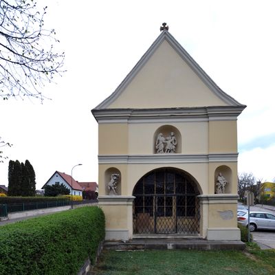
Pestkapelle Gars am Kamp, building in Gars am Kamp, Austria
Location: Gars am Kamp
Inception: 1680
Address: Wienerstraße
GPS coordinates: 48.59667,15.66827
Latest update: April 22, 2025 21:34
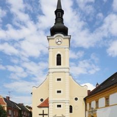
Pfarrkirche hll. Simon und Thaddäus, Gars am Kamp
551 m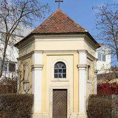
Ehem. Bürgerspitalkapelle
126 m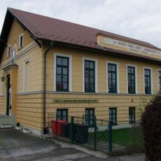
Gars Kaiser-Franz-Josef-Krankenhaus
69 m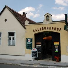
Bauernhaus Rainharterstraße 20 Gars am Kamp
537 m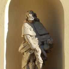
Figur des Hl. Rochus
3 m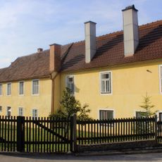
Bauernhof (Anlage)
533 m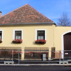
Bauernhof (Anlage)
529 m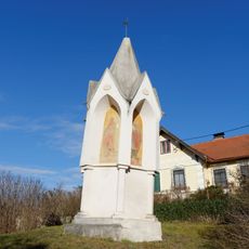
Dickes Kreuz
496 m
Wohnhaus
545 m
Schubertparkmarterl, Gars am Kamp
348 m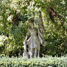
Figur des Hl. Florian, Gars am Kamp
567 m
Rathauskeller Gars am Kamp
588 m
Figur des Hl. Sebastian
3 m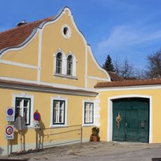
Bauernhof (Anlage)
519 m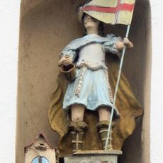
Figur des Hl. Florian, Gars am Kamp
543 m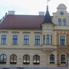
Wohnhaus
588 m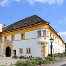
Pfarrhof, Gars am Kamp
565 m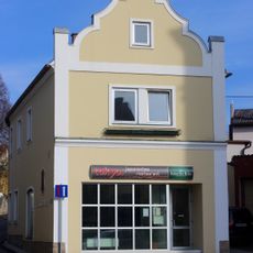
Wohnhaus
570 m
Wohn- und Geschäftshaus
552 m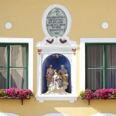
Hausnische Aufnahme Mariens in Gars
583 m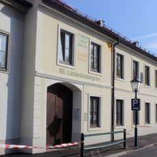
Kindergarten
577 m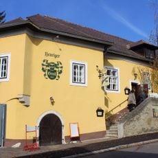
Bürgerhaus
559 m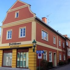
Wohn- und Geschäftshaus
562 m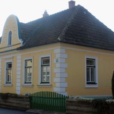
Wohnhaus
564 m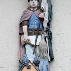
Figur des Hl. Florian, Gars am Kamp
391 m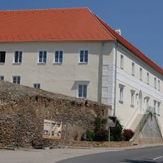
Ehem. Redemptoristinnenkloster / ehem. Armenhaus
402 m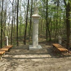
Dreifaltigkeitssäule auf dem Kirchenweg Zitternberg-Gars
503 m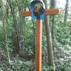
Holzkreuz im Schubertpark
369 mVisited this place? Tap the stars to rate it and share your experience / photos with the community! Try now! You can cancel it anytime.
Discover hidden gems everywhere you go!
From secret cafés to breathtaking viewpoints, skip the crowded tourist spots and find places that match your style. Our app makes it easy with voice search, smart filtering, route optimization, and insider tips from travelers worldwide. Download now for the complete mobile experience.

A unique approach to discovering new places❞
— Le Figaro
All the places worth exploring❞
— France Info
A tailor-made excursion in just a few clicks❞
— 20 Minutes